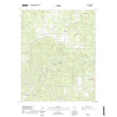
2020 Map of Ponca
USGS Topo · Published 2020About this map
The Buffalo National River corridor dominates this landscape, carving through the Ozark highlands of Newton County. High limestone bluffs such as Roark Bluff, Big Bluff, and Bee Bluff line the river, while steep-walled drainages like Hemmed-In-Hollow create some of the area's most vertical terrain. The settlement pattern is scattered, with small communities like Compton and Ponca serving as centers for the surrounding hollows. Local family history is preserved in several upland burial grounds, including the McFerrin and Jones cemeteries.
Find a feature on this map
117 named features on this map. Tap any name to fly to it.
Don’t see what you’re looking for? This feature index may not catch every label — zoom into the map to look around manually.
Map Details
Editions of this 2020 Ponca Map
This is the sole edition of this map. No revisions or reprints were ever made.
Other maps of this area

1904 · Harrison
USGS Topo · 1:125,000

1905 · Harrison
USGS Topo · 1:125,000

1933 · Mt Judea
USGS Topo · 1:62,500

1940 · Mt Judea
USGS Topo · 1:62,500

1945 · Harrison
USGS Topo · 1:250,000

1949 · Harrison
USGS Topo · 1:250,000

1954 · Harrison
USGS Topo · 1:250,000

1956 · Russellville
USGS Topo · 1:250,000

1958 · Harrison
USGS Topo · 1:250,000

1964 · Russellville
USGS Topo · 1:250,000