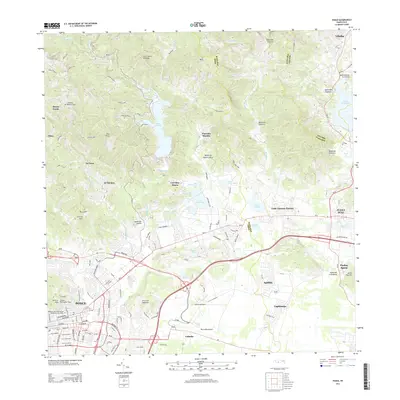
2024 Map of Ponce
USGS Topo · Published 2024About this map
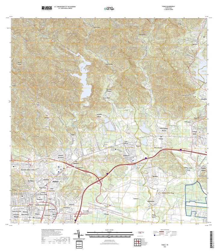
The metropolitan area of Ponce and neighboring Juana Díaz are documented in this contemporary survey, revealing the dense urban development and institutional layout of southern Puerto Rico. The map details a sophisticated network of higher education, including the Pontifical Catholic University of Puerto Rico and several other university campuses concentrated in the city center. To the east, transport infrastructure is anchored by the Mercedita Airport, while the northern terrain transitions into the steep elevations of the Cordillera Central, marked by peaks like Cerro Santo Domingo and Cerro Augustinillo. This geography illustrates the sharp contrast between the coastal alluvial plains and the inland highlands. Local history is preserved through the naming of numerous barrios and sectors such as Coto Laurel, Real Anón, and Vayas, alongside essential community landmarks like the Cementerio Municipal and the Tribunal de Juana Díaz.
Find a feature on this map
92 named features on this map. Tap any name to fly to it.
Don’t see what you’re looking for? This feature index may not catch every label — zoom into the map to look around manually.
Map Details
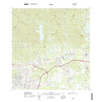
Editions of this 2024 Ponce Map
This is the sole edition of this map. No revisions or reprints were ever made.
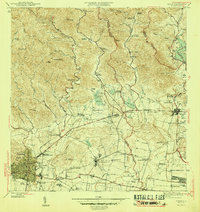
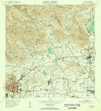
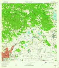
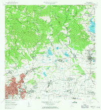
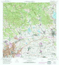
Historical Maps of Ponce Through Time
8 maps found
Featured Locations
- Juana Díaz, Juana Díaz
- Sector Peñoncillo, Juana Díaz
- Las Bayas, Ponce
- Sector Piedras Blancas, Ponce
- Ponce, Ponce