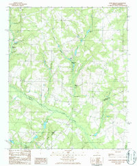
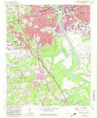
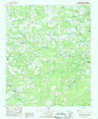
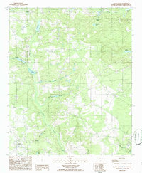
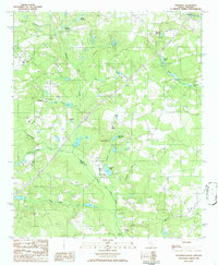
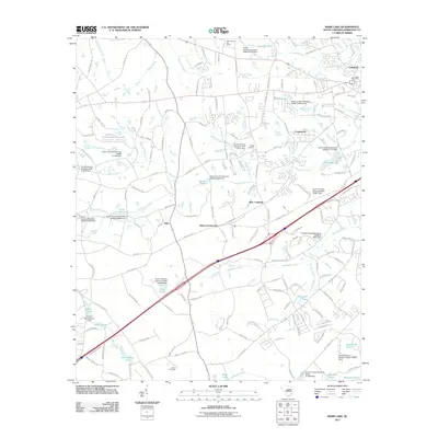
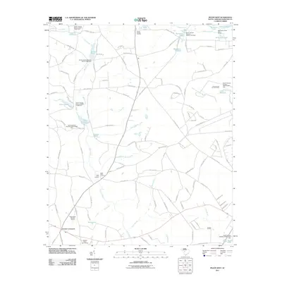
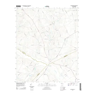
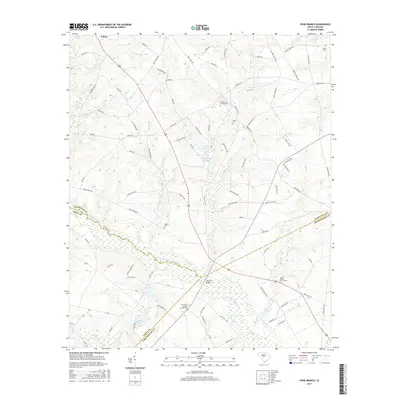
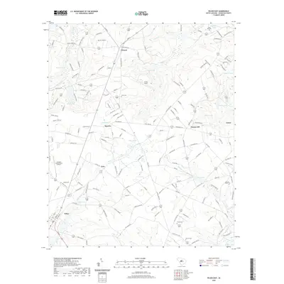
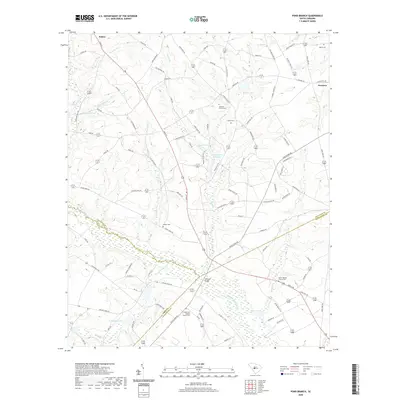
1986 Map of Pond Branch
USGS Topo · Published 1986About this map
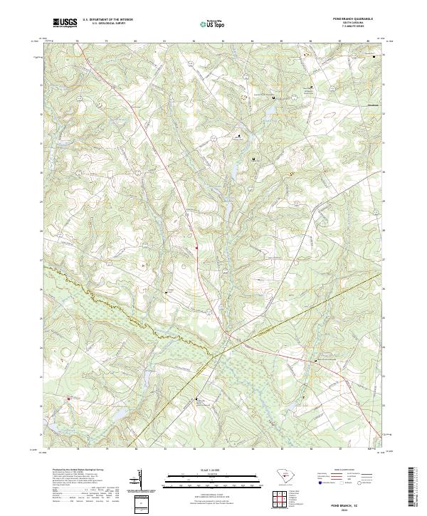
The North Fork Edisto River carves a significant corridor through this South Carolina landscape, where the borders of Lexington, Aiken, and Orangeburg counties converge. The hydrology of the region is defined by a dense network of water-powered infrastructure, notably a series of millponds that speak to a legacy of local agricultural industry. Features such as Pooles Millpond, Jeffcoats Millpond, and Pooles Upper Millpond dominate the small drainage basins, while smaller family-named landmarks like Shumpert Pond and Culler Ponds dot the wooded terrain.
Find a feature on this map
24 named features on this map. Tap any name to fly to it.
Don’t see what you’re looking for? This feature index may not catch every label — zoom into the map to look around manually.
Map Details
Editions of this 1986 Pond Branch Map
This is the sole edition of this map. No revisions or reprints were ever made.
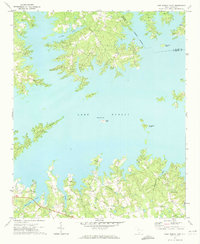
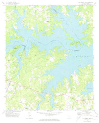
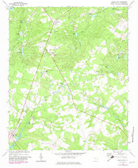
Historical Maps of Swansea Through Time
49 maps found
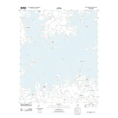
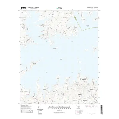
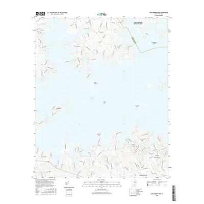
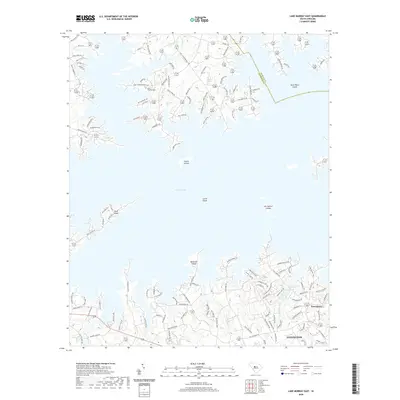
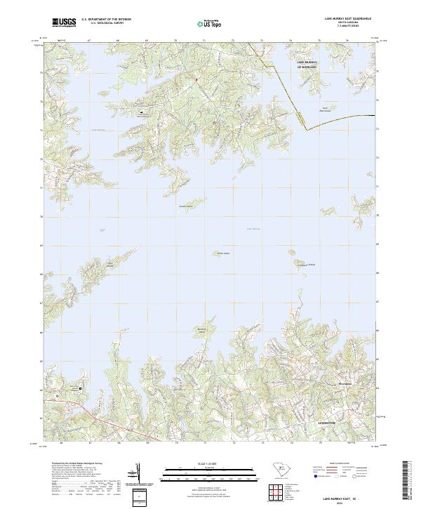
1971 Lake Murray East
Lexington County, SC
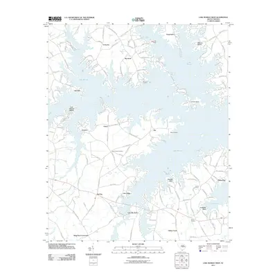
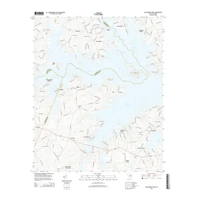
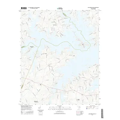
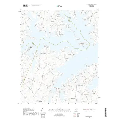
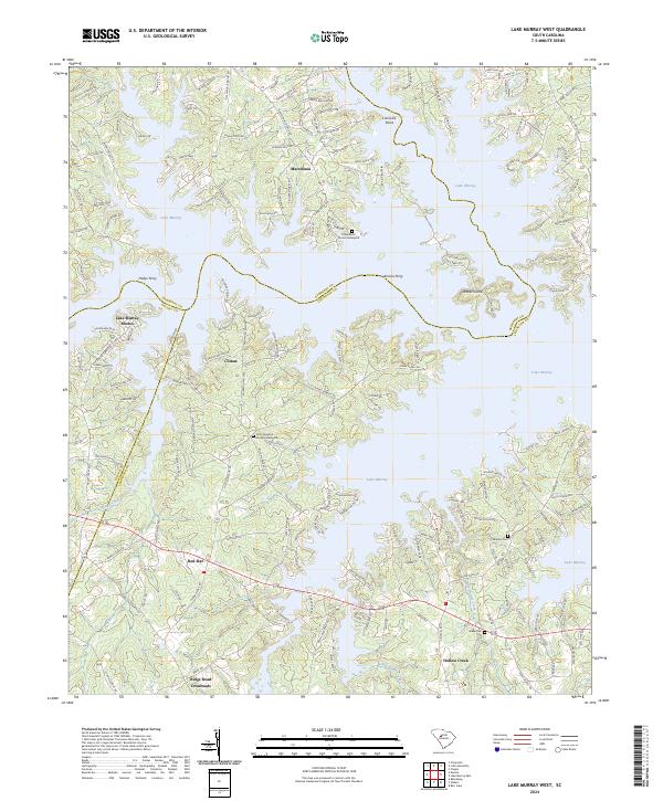
1971 Lake Murray West
Lexington County, SC
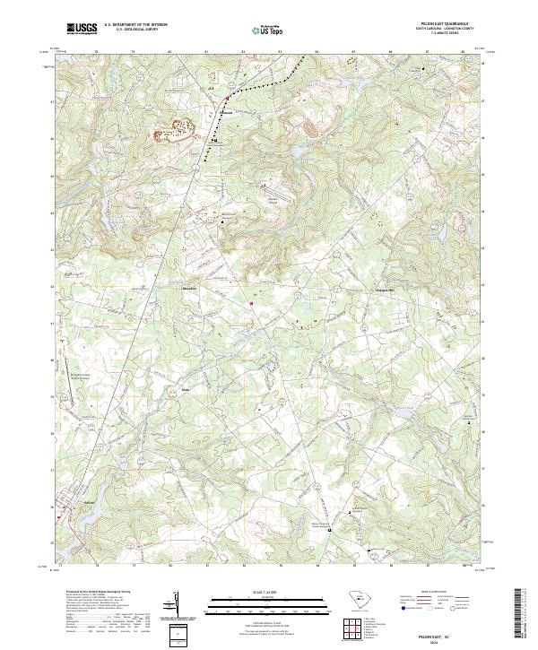
1972 Pelion East
Lexington County, SC
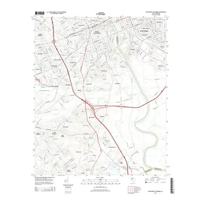
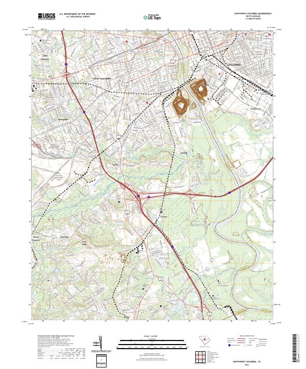
1972 Southwest Columbia
Lexington County, SC
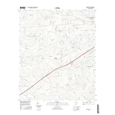
1986 Barr Lake
Lexington County, SC
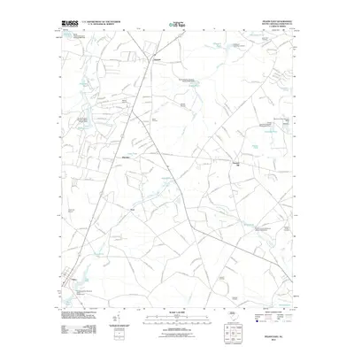
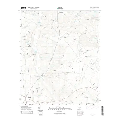
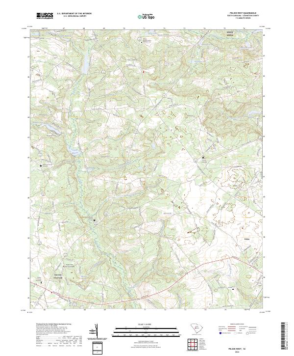
1986 Pelion West
Lexington County, SC
1986 Pond Branch
Lexington County, SC
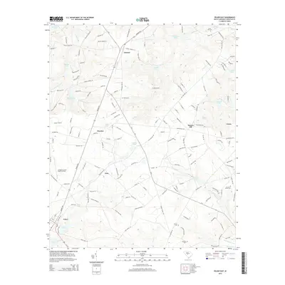
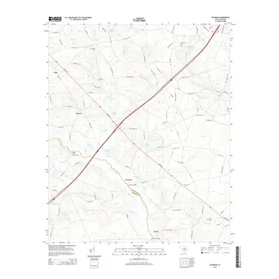
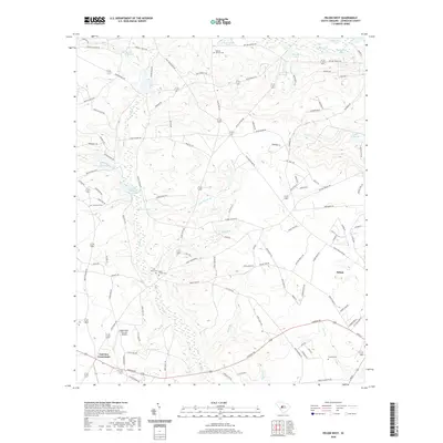
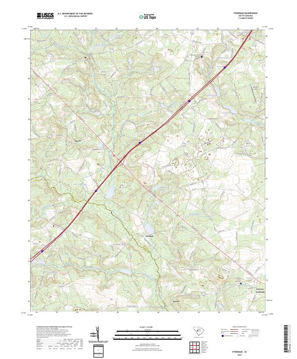
1986 Steedman
Lexington County, SC

1994 Southwest Columbia
Lexington County, SC
2011 Barr Lake
Lexington County, SC
2011 Lake Murray East
Lexington County, SC
2011 Lake Murray West
Lexington County, SC
2011 Pelion East
Lexington County, SC
2011 Pelion West
Lexington County, SC
2011 Pond Branch
Lexington County, SC

2011 Southwest Columbia
Lexington County, SC
2011 Steedman
Lexington County, SC
2014 Barr Lake
Lexington County, SC
2014 Lake Murray East
Lexington County, SC
2014 Lake Murray West
Lexington County, SC
2014 Pelion East
Lexington County, SC
2014 Pelion West
Lexington County, SC
2014 Pond Branch
Lexington County, SC
2014 Southwest Columbia
Lexington County, SC
2014 Steedman
Lexington County, SC
2017 Barr Lake
Lexington County, SC
2017 Lake Murray East
Lexington County, SC
2017 Lake Murray West
Lexington County, SC
2017 Pelion East
Lexington County, SC
2017 Pelion West
Lexington County, SC
2017 Pond Branch
Lexington County, SC
2017 Southwest Columbia
Lexington County, SC
2017 Steedman
Lexington County, SC
2020 Barr Lake
Lexington County, SC
2020 Lake Murray East
Lexington County, SC
2020 Lake Murray West
Lexington County, SC
2020 Pelion East
Lexington County, SC
2020 Pelion West
Lexington County, SC
2020 Pond Branch
Lexington County, SC
2020 Southwest Columbia
Lexington County, SC
2020 Steedman
Lexington County, SC
2024 Barr Lake
Lexington County, SC
2024 Lake Murray East
Lexington County, SC
2024 Lake Murray West
Lexington County, SC
2024 Pelion East
Lexington County, SC
2024 Pelion West
Lexington County, SC
2024 Pond Branch
Lexington County, SC
2024 Southwest Columbia
Lexington County, SC
2024 Steedman
Lexington County, SC