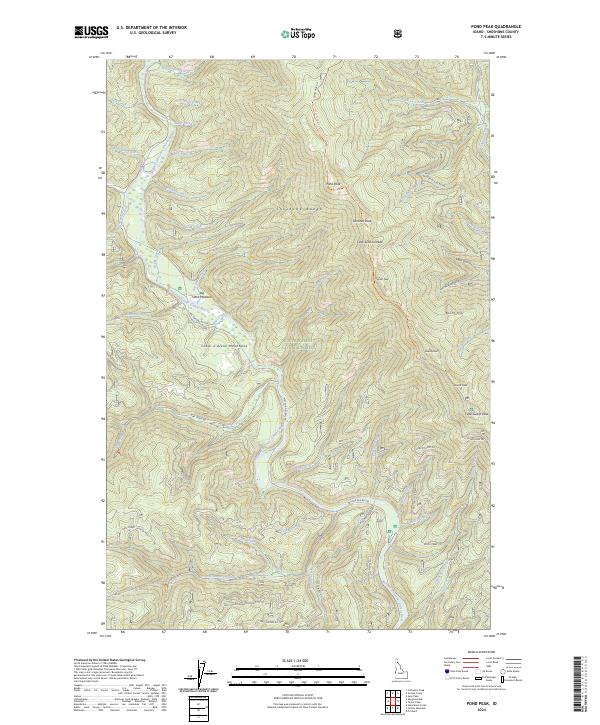
2024 Map of Pond Peak
USGS Topo · Published 2024About this map
The North Fork Coeur d'Alene River carves a central path through this section of the Coeur d'Alene National Forest, defining the drainage patterns for numerous steep-walled tributaries. In the northern reaches of the Shoshone Range, high points such as Pond Peak and Sentinel Peak provide the primary vertical relief. The landscape is marked by a complex network of forest development roads and primitive trails, such as the Shoshone Ridge Trl, which navigate the high divides between creek basins. Evidence of the region's historic meadowlands can be found at Big Hank Meadow, while named peaks like Little Guard Peak and Guard Peak indicate the strategic overlooks once used for forest observation. The dense drainage system, including Yellow Dog Creek and Beetle Creek, illustrates the hydrologic character of these mountains.
Find a feature on this map
64 named features on this map. Tap any name to fly to it.
Don’t see what you’re looking for? This feature index may not catch every label — zoom into the map to look around manually.
Map Details
Editions of this 2024 Pond Peak Map
This is the sole edition of this map. No revisions or reprints were ever made.
Other maps of this area

1909 · Cataldo
USGS Topo · 1:125,000

1911 · Cataldo
USGS Topo · 1:125,000

1932 · Trout Creek
USGS Topo · 1:125,000

1935 · Trout Creek
USGS Topo · 1:125,000

1936 · Trout Creek
USGS Topo · 1:125,000

1955 · Spokane
USGS Topo · 1:250,000

1956 · Wallace
USGS Topo · 1:250,000

1957 · Burke
USGS Topo · 1:62,500

1957 · Kellogg
USGS Topo · 1:62,500

1958 · Spokane
USGS Topo · 1:250,000