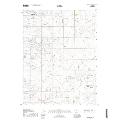
2019 Map of Ponderosa Park
USGS Topo · Published 2019About this map
Parker and the developing outskirts of Douglas County appear here in a period of significant suburban expansion into the high plains. The landscape is defined by its drainage network, where Tallman Gulch, Moonshine Gulch, and Henderson Gulch carve through the terrain toward Bayou Gulch. These natural features intersect with an increasingly dense residential grid, seen in the growth surrounding Ponderosa Park and Hilltop. Water management is central to this environment, evidenced by the numerous catchment basins such as Pinery Reservoir, Burney-Bird Reservoir Number 1, and Circle 2 Ranch Reservoir Number 1. For local historians and researchers, the map documents the transition of large ranching tracts into residential enclaves. Significant recreational corridors are also established, including the Bayou Gulch Regional Park Trail and the Bayou Gulch Open Space Perimeter Trail, which preserve the natural character of the gulches amidst modern development near Franktown.
Find a feature on this map
212 named features on this map. Tap any name to fly to it.
Don’t see what you’re looking for? This feature index may not catch every label — zoom into the map to look around manually.
Map Details
Editions of this 2019 Ponderosa Park Map
This is the sole edition of this map. No revisions or reprints were ever made.
Other maps of this area

1890 · East Denver
USGS Topo · 1:125,000

1894 · Castle Rock
USGS Topo · 1:125,000

1913 · Castle Rock
USGS Topo · 1:125,000

1935 · East Denver Nos. 3 and 4
USGS Topo · 1:48,000

1939 · Elizabeth
USGS Topo · 1:62,500

1940 · Piney Creek
USGS Topo · 1:24,000

1940 · Castle Rock
USGS Topo · 1:62,500

1942 · Parker
USGS Topo · 1:31,680

1942 · Piney Creek
USGS Topo · 1:31,680

1945 · Castle Rock
USGS Topo · 1:62,500