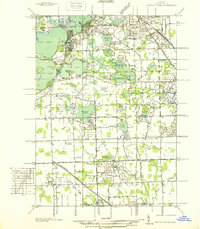
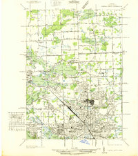
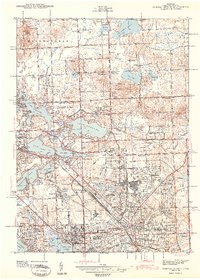
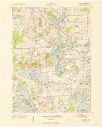
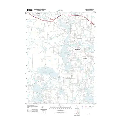
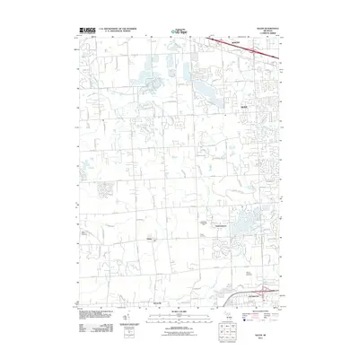
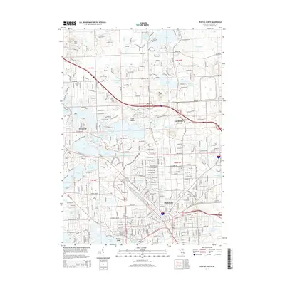
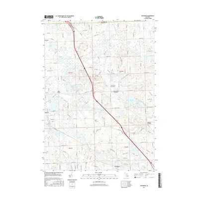
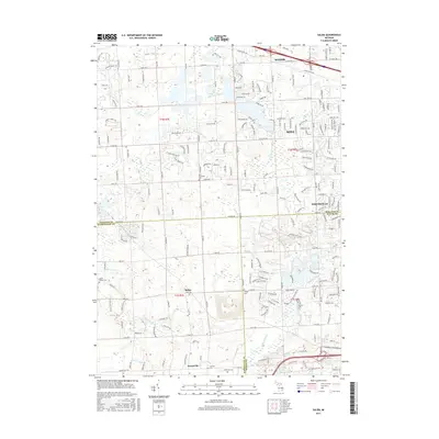
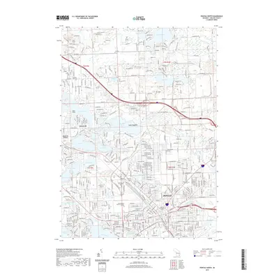
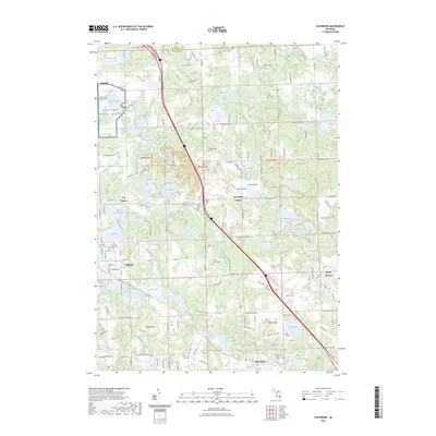
1936 Map of Pontiac South
USGS Topo · Published 1936About this map
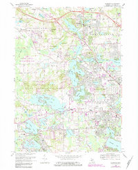
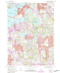
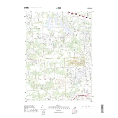
The glacial lakes and country estates of Oakland County define this pre-war landscape, showing the suburban transition between Keego Harbor and Bloomfield Hills. Educational and institutional landmarks are prominent, including the St Marys College and Polish Seminary on the shores of Orchard Lake and the sprawling Cranbrook Sch campus. The northern reach of the map is dominated by a chain of water bodies such as Cass Lake, Sylvan Lake, and Pine Lake, which helped establish the area's character as a retreat for Detroit's elite.
Find a feature on this map
115 named features on this map. Tap any name to fly to it.
Don’t see what you’re looking for? This feature index may not catch every label — zoom into the map to look around manually.
Map Details
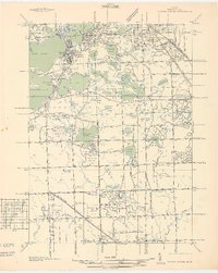
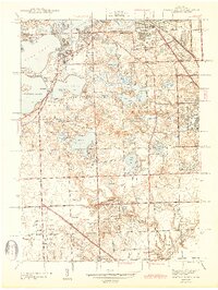
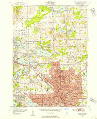
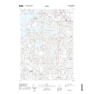
Editions of this 1936 Pontiac South Map
2 editions found
Historical Maps of Farmington Hills Through Time
54 maps found
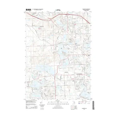
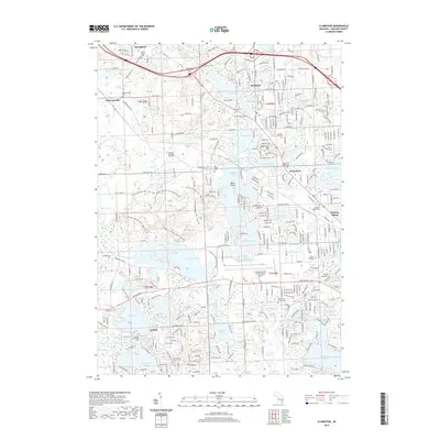
1936 Clarkston
Oakland County, MI
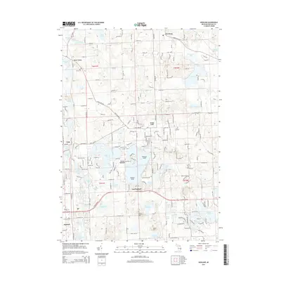
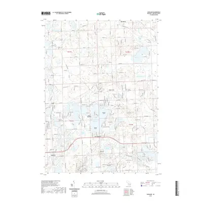
1936 Highland
Oakland County, MI
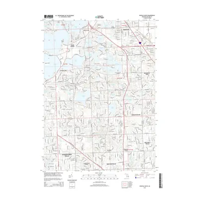
1936 Pontiac North
Oakland County, MI
1936 Pontiac South
Oakland County, MI
1936 Salem
Oakland County, MI
1942 Highland
Oakland County, MI
1943 Clarkston
Oakland County, MI
1943 Pontiac North
Oakland County, MI
1943 Pontiac South
Oakland County, MI
1945 Davisburg
Oakland County, MI
1945 Highland
Oakland County, MI

1945 Salem
Oakland County, MI
1952 Clarkston
Oakland County, MI
1952 Pontiac North
Oakland County, MI
1952 Pontiac South
Oakland County, MI
1953 Salem
Oakland County, MI
1968 Clarkston
Oakland County, MI
1968 Davisburg
Oakland County, MI
1968 Highland
Oakland County, MI
1968 Pontiac North
Oakland County, MI
1968 Pontiac South
Oakland County, MI
1969 Salem
Oakland County, MI
1997 Pontiac North
Oakland County, MI
1997 Pontiac South
Oakland County, MI
2011 Clarkston
Oakland County, MI

2011 Davisburg
Oakland County, MI
2011 Highland
Oakland County, MI
2011 Pontiac North
Oakland County, MI
2011 Pontiac South
Oakland County, MI
2011 Salem
Oakland County, MI
2014 Clarkston
Oakland County, MI
2014 Davisburg
Oakland County, MI
2014 Highland
Oakland County, MI
2014 Pontiac North
Oakland County, MI
2014 Pontiac South
Oakland County, MI
2014 Salem
Oakland County, MI
2017 Clarkston
Oakland County, MI
2017 Davisburg
Oakland County, MI
2017 Highland
Oakland County, MI
2017 Pontiac North
Oakland County, MI
2017 Pontiac South
Oakland County, MI
2017 Salem
Oakland County, MI
2019 Clarkston
Oakland County, MI
2019 Davisburg
Oakland County, MI
2019 Highland
Oakland County, MI
2019 Pontiac North
Oakland County, MI
2019 Pontiac South
Oakland County, MI
2019 Salem
Oakland County, MI
2023 Clarkston
Oakland County, MI
2023 Davisburg
Oakland County, MI
2023 Highland
Oakland County, MI
2023 Pontiac North
Oakland County, MI
2023 Pontiac South
Oakland County, MI
2023 Salem
Oakland County, MI