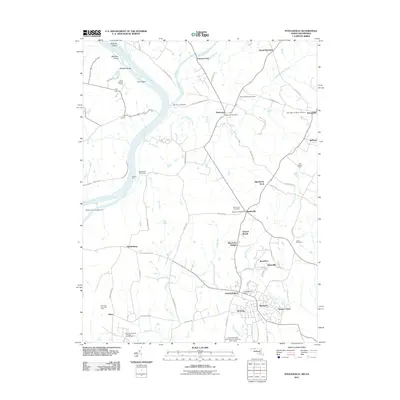
2011 Map of Poolesville
USGS Topo · Published 2011About this map
Poolesville serves as the focal point for this Montgomery County landscape, where the confluence of the Potomac River and Monocacy River defines the geography. This 2011 survey illustrates the rural character of the region, featuring historical crossings such as Whites Ford and Furnace Ford, alongside the engineering of the Monocacy Aqueduct. The area preserves deep local roots through established settlements like Dickerson, Barnesville, and Beallsville, each with its own post office or local cemetery. Farther inland, names such as Elizabeths Delight, Jerusalem, and Jonesville hint at early land tracts and community centers. The map also captures modern land use, from the National Institute of Health Animal Farm near Elmer to the residential growth in Wesmond and Seneca Chase, while maintaining large agricultural footprints like Lewis Orchards and the Potomac Riverside Farm.
Find a feature on this map
79 named features on this map. Tap any name to fly to it.
Don’t see what you’re looking for? This feature index may not catch every label — zoom into the map to look around manually.
Map Details
Editions of this 2011 Poolesville Map
This is the sole edition of this map. No revisions or reprints were ever made.
Other maps of this area

1884 · Harpers Ferry
USGS Topo · 1:125,000

1891 · Harpers Ferry
USGS Topo · 1:125,000

1893 · Frederick
USGS Topo · 1:125,000

1893 · Harpers Ferry
USGS Topo · 1:125,000

1894 · Frederick
USGS Topo · 1:125,000

1908 · Middletown
USGS Topo · 1:48,000

1908 · Seneca
USGS Topo · 1:62,500

1908 · Ijamsville
USGS Topo · 1:62,500

1909 · Ijamsville
USGS Topo · 1:62,500

1910 · Antietam
USGS Topo · 1:62,500