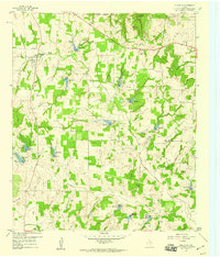
1959 Map of Poolville
USGS Topo · Published 1960About this map
Poolville and Agnes anchor this late 1950s landscape across the Wise and Parker County line, where a complex network of man-made reservoirs and petroleum infrastructure defines the local geography. The central region is dominated by the Toto Gas Field, illustrating the post-war energy boom that reshaped this portion of North Texas. Numerous small lakes, labeled numerically from Res No 4 through Res No 15, are distributed along the drainage of the Clear Fork Trinity River and its tributaries like Gourdneck Branch and Cottonwood Creek. Local heritage is preserved in the location of the Erwin Cem and Dilbeck Cem, alongside rural congregations at Union Ch and Central Ch. The terrain is punctuated by distinct elevations such as Skeen Peak, Indian Knob, and Buck Knob, providing a clear view of the natural topography before modern expansion further altered the countryside.
Find a feature on this map
33 named features on this map. Tap any name to fly to it.
Don’t see what you’re looking for? This feature index may not catch every label — zoom into the map to look around manually.
Map Details
Editions of this 1959 Poolville Map
2 editions found
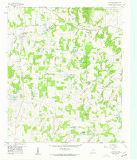
Other maps of this area

1891 · Weatherford
USGS Topo · 1:125,000

1893 · Weatherford
USGS Topo · 1:125,000

1930 · Boyd
USGS Topo · 1:62,500

1932 · Springtown
USGS Topo · 1:62,500

1954 · Dallas
USGS Topo · 1:250,000

1954 · Sherman
USGS Topo · 1:250,000

1958 · Dallas
USGS Topo · 1:250,000

1958 · Sherman
USGS Topo · 1:250,000

1958 · Springtown
USGS Topo · 1:24,000
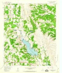
1959 · Lake Weatherford
USGS Topo · 1:24,000