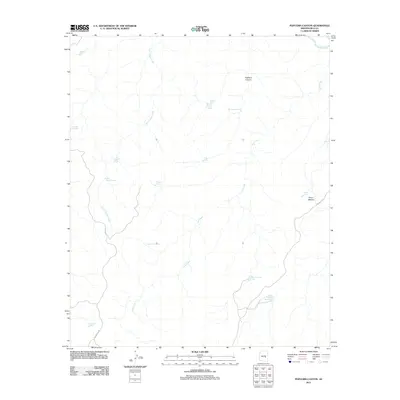
2011 Map of Popcorn Canyon
USGS Topo · Published 2011About this map
Salt River defines the northern edge of this arid landscape in Gila County, where water management is the primary driver of the physical layout. The terrain is dominated by a complex network of ephemeral drainages and springs, including Popcorn Spring and Big Trough Spring, which feed into larger features like Popcorn Canyon. This survey illustrates a landscape dedicated to livestock and resource management, marked by numerous named catchment basins such as Martin Luther Tank, Tuttle Tank, and Arrowhead Tank. Access to this high-desert environment is limited to a few specific corridors, primarily Indian Rte 9 and Indian Rte 401, which navigate the rises near Victor Pasture. The distribution of these water points and rudimentary roads reflects the enduring necessity of managing water in a region where Cave Creek and its tributaries carve deep through the canyon floor.
Find a feature on this map
21 named features on this map. Tap any name to fly to it.
Don’t see what you’re looking for? This feature index may not catch every label — zoom into the map to look around manually.
Map Details
Editions of this 2011 Popcorn Canyon Map
This is the sole edition of this map. No revisions or reprints were ever made.
Other maps of this area

1954 · Mesa
USGS Topo · 1:250,000

1957 · Mesa
USGS Topo · 1:250,000

1958 · Mesa
USGS Topo · 1:250,000

1960 · Mesa
USGS Topo · 1:250,000

1964 · Mesa
USGS Topo · 1:250,000

1966 · Brushy Canyon
USGS Topo · 1:24,000

1966 · Popcorn Canyon
USGS Topo · 1:24,000
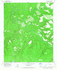
1966 · Forks Butte
USGS Topo · 1:24,000

1966 · Cassadore Spring
USGS Topo · 1:24,000
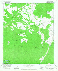
1966 · Cone Butte
USGS Topo · 1:24,000