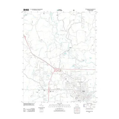
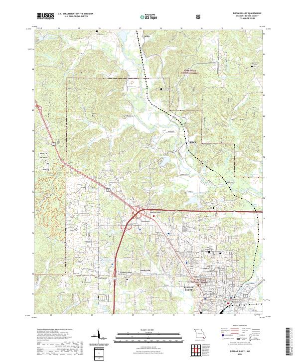
1966 Map of Poplar Bluff
USGS Topo · Published 1979About this map
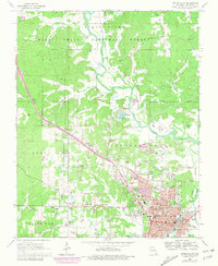
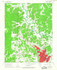
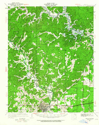
Poplar Bluff serves as the regional hub in this 1960s study, which highlights a landscape transitioning between the urban center and the wooded reaches of the Mark Twain National Forest. The Black River meanders through the northeast, supporting small communities like Hilliard and Wilby. Significant infrastructure follows the Missouri Pacific railroad corridor, including the Landing Strip and industrial areas marked by a Gravel Pit and Clay Pit. The map is particularly useful for genealogists, as it identifies numerous family and community burial grounds such as Nunley Cem, Montgomery Cem, and Shadie Cem. Urban expansion is documented with purple revisions showing the growth of neighborhoods around Loma Linda and the Poplar Bluff Country Club. Residential development is also evident in the named areas of Cedar Valley and Shady Dell south of the city core.
Find a feature on this map
79 named features on this map. Tap any name to fly to it.
Don’t see what you’re looking for? This feature index may not catch every label — zoom into the map to look around manually.
Map Details
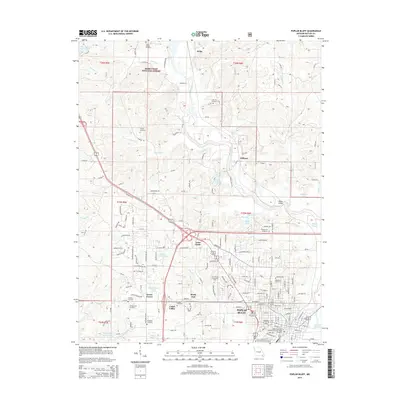
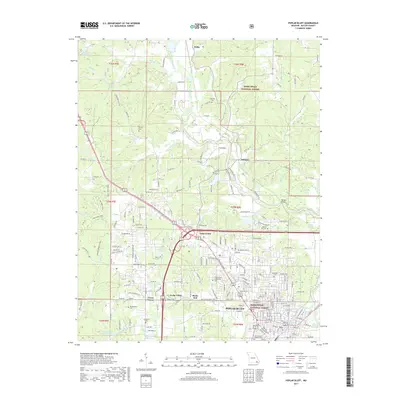
Editions of this 1966 Poplar Bluff Map
3 editions found
Historical Maps of Poplar Bluff Through Time
13 maps found
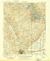
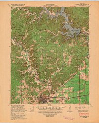
1935 Poplar Bluff
Butler County, MO
1939 Poplar Bluff
Butler County, MO
1949 Poplar Bluff
Butler County, MO
1957 Poplar Bluff
Butler County, MO

1959 Poplar Bluff
Butler County, MO

1960 Poplar Bluff
Butler County, MO
1966 Poplar Bluff
Butler County, MO
1968 Poplar Bluff
Butler County, MO

1983 Poplar Bluff
Butler County, MO
2011 Poplar Bluff
Butler County, MO
2015 Poplar Bluff
Butler County, MO
2017 Poplar Bluff
Butler County, MO
2021 Poplar Bluff
Butler County, MO