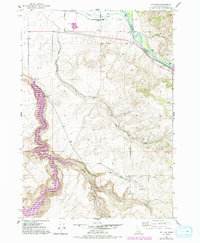
1951 Map of Poplar
USGS Topo · Published 1994About this map
The settlement of Poplar serves as the focal point for this Idaho landscape, where the high desert terrain meets the complex water management systems of the Snake River Plain. This 1951 survey, with revisions from the late 1970s, illustrates a transitional era of hydraulic engineering. The Snake River is tapped by the Anderson Canal and Riley Ditch, reflecting the region's agricultural dependence on irrigation networks. A significant landmark on this sheet is the Ririe Dam, which transformed the path of Willow Creek into a controlled reservoir system.
Find a feature on this map
22 named features on this map. Tap any name to fly to it.
Don’t see what you’re looking for? This feature index may not catch every label — zoom into the map to look around manually.
Map Details
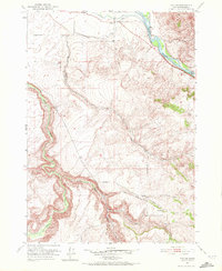
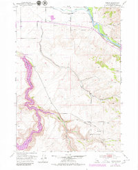
Editions of this 1951 Poplar Map
4 editions found
Other maps of this area

1924 · Hell Creek
USGS Topo · 1:62,500

1924 · Ammon
USGS Topo · 1:62,500

1926 · Hell Creek
USGS Topo · 1:62,500

1950 · Ririe
USGS Topo · 1:24,000

1950 · Rigby
USGS Topo · 1:62,500

1950 · Rigby SE
USGS Topo · 1:24,000

1951 · Rigby SE
USGS Topo · 1:24,000

1951 · Poplar
USGS Topo · 1:24,000

1951 · Hawley Gulch
USGS Topo · 1:24,000

1951 · Heise
USGS Topo · 1:24,000