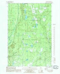
1985 Map of Poplar Lake
USGS Topo · Published 1985About this map
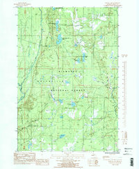
The Hiawatha National Forest dominates this mid-1980s survey of Delta County, characterized by an intricate network of wetlands and glacial lakes. Significant hydrology defines the region, including the Sturgeon River to the east and the Whitefish River to the west. A chain of water bodies including Upper Eighteenmile Lake, Middle Eighteenmile Lake, and Lower Eighteenmile Lake provides a clear view of the drainage patterns through the Masonville township area.
Find a feature on this map
19 named features on this map. Tap any name to fly to it.
Don’t see what you’re looking for? This feature index may not catch every label — zoom into the map to look around manually.
Map Details
Editions of this 1985 Poplar Lake Map
2 editions found
Other maps of this area

1932 · Rapid River NE
USGS Topo · 1:31,680

1932 · Trenary SW
USGS Topo · 1:31,680

1932 · Garden NW and SW
USGS Topo · 1:31,680

1932 · Rapid River NW
USGS Topo · 1:31,680

1932 · Trenary SE
USGS Topo · 1:31,680

1932 · Skeels Lake NW and SW
USGS Topo · 1:31,680

1954 · Escanaba
USGS Topo · 1:250,000

1957 · Escanaba
USGS Topo · 1:250,000

1958 · Escanaba
USGS Topo · 1:250,000

1958 · Corner Lake
USGS Topo · 1:62,500