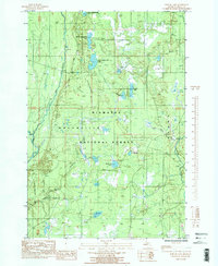
1985 Map of Poplar Lake
USGS Topo · Published 1985About this map
Hiawatha National Forest dominates this mid-1980s landscape in Masonville, characterized by an intricate network of wetlands, rivers, and glacial lakes. The topography is defined by the three-part chain of Upper Eighteenmile Lake, Middle Eighteenmile Lake, and Lower Eighteenmile Lake, along with the East Branch Whitefish River and the winding Sturgeon River. This survey reveals the transition from early industrial use to modern recreation, documenting a prominent Old RR Grade and the historical Bay De Noc/Grand Island Trail. Outdoor heritage is centered around the Haymeadow Creek Recreation Area and the nearby Haymeadow Falls, while local infrastructure is marked by the Rapid River Truck Trail and scattered features like McDonald Lake and a Gravel Pit.
Find a feature on this map
22 named features on this map. Tap any name to fly to it.
Don’t see what you’re looking for? This feature index may not catch every label — zoom into the map to look around manually.
Map Details
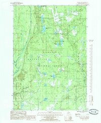
Editions of this 1985 Poplar Lake Map
2 editions found
Other maps of this area

1932 · Rapid River NE
USGS Topo · 1:31,680

1932 · Trenary SW
USGS Topo · 1:31,680

1932 · Garden NW and SW
USGS Topo · 1:31,680

1932 · Rapid River NW
USGS Topo · 1:31,680

1932 · Trenary SE
USGS Topo · 1:31,680

1932 · Skeels Lake NW and SW
USGS Topo · 1:31,680

1954 · Escanaba
USGS Topo · 1:250,000

1957 · Escanaba
USGS Topo · 1:250,000

1958 · Escanaba
USGS Topo · 1:250,000

1958 · Corner Lake
USGS Topo · 1:62,500