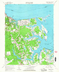
1965 Map of Poquoson West
USGS Topo · Published 1967About this map
The Colonial National Historical Park anchors the northwestern corner of this mid-1960s coastal survey, preserving the ground of the Battle Trenches and the Moore House where the York River meets the peninsula. The landscape is a mix of strategic military installations and emerging suburban residential developments. To the east, the U S Naval Supply Center and a large Tank Farm occupy Goodwin Neck, while the interior shows the growth of communities like Grafton, Seaford, and Tabb. Infrastructure for the region is evident in the presence of the Harwoods Mill Reservoir and its Filtration Plant, which serviced the growing populations of York County and nearby Newport News. The coastal character is defined by intricate marshes and points such as York Point and the Goodwin Islands, with the Tue Marshes Lighthouse marking the passage between the river and the Chesapeake Bay.
Find a feature on this map
102 named features on this map. Tap any name to fly to it.
Don’t see what you’re looking for? This feature index may not catch every label — zoom into the map to look around manually.
Map Details
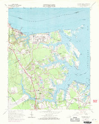
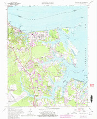
Editions of this 1965 Poquoson West Map
3 editions found
Other maps of this area

1906 · Williamsburg
USGS Topo · 1:62,500

1907 · Yorktown
USGS Topo · 1:62,500

1907 · Hampton
USGS Topo · 1:62,500

1916 · Mathews
USGS Topo · 1:62,500

1917 · Mathews
USGS Topo · 1:62,500

1943 · Yorktown
USGS Topo · 1:62,500

1943 · Richmond
USGS Topo · 1:250,000

1944 · Hampton
USGS Topo · 1:24,000

1944 · Yorktown
USGS Topo · 1:24,000

1944 · Messick
USGS Topo · 1:24,000