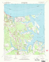
1965 Map of Poquoson West
USGS Topo · Published 1971About this map
Colonial National Historical Park anchors the northwestern corner of this coastal landscape, preserving the geography of the Siege of Yorktown with visible Battle Trenches and the historic Moore House near the York River. By the mid-1960s, the surrounding York County peninsula shows a transition from rural crossroads like Tabb and Dare to expanding residential developments such as Holly Hills and Seaford Shores. The maritime economy and strategic military footprint are evident through the U S Naval Supply Center, the U S Coast Guard Reserve Training Center, and a sprawling industrial Tank Farm on Goodwin Neck. Intricate tidal waterways including Chisman Creek and the Poquoson River define the local topography, while the Aqueduct and Harwoods Mill Reservoir highlight the regional infrastructure supporting the growing population near Patrick Henry Airport.
Find a feature on this map
93 named features on this map. Tap any name to fly to it.
Don’t see what you’re looking for? This feature index may not catch every label — zoom into the map to look around manually.
Map Details
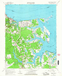
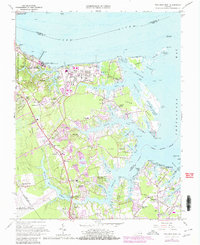
Editions of this 1965 Poquoson West Map
3 editions found
Other maps of this area

1906 · Williamsburg
USGS Topo · 1:62,500

1907 · Yorktown
USGS Topo · 1:62,500

1907 · Hampton
USGS Topo · 1:62,500

1916 · Mathews
USGS Topo · 1:62,500

1917 · Mathews
USGS Topo · 1:62,500

1943 · Yorktown
USGS Topo · 1:62,500

1943 · Richmond
USGS Topo · 1:250,000

1944 · Hampton
USGS Topo · 1:24,000

1944 · Yorktown
USGS Topo · 1:24,000

1944 · Messick
USGS Topo · 1:24,000