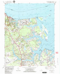
1983 Map of Poquoson West
USGS Topo · Published 1983About this map
The Colonial National Historical Parkway anchors this coastal survey, winding through a landscape heavy with military history and industrial development along the York River. Near the historic site of Yorktown, map details record battle trenches, Redoubt 10, and Redoubt 9, marking the revolutionary-era fortifications preserved within Battle Park. This 1980s landscape shows the convergence of traditional maritime living and modern infrastructure, from the sprawling Yorktown Refinery and Naval Supply Center to the residential growth of Poquoson.
Find a feature on this map
77 named features on this map. Tap any name to fly to it.
Don’t see what you’re looking for? This feature index may not catch every label — zoom into the map to look around manually.
Map Details
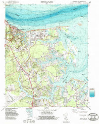
Editions of this 1983 Poquoson West Map
2 editions found
Other maps of this area

1906 · Williamsburg
USGS Topo · 1:62,500

1907 · Yorktown
USGS Topo · 1:62,500

1907 · Hampton
USGS Topo · 1:62,500

1916 · Mathews
USGS Topo · 1:62,500

1917 · Mathews
USGS Topo · 1:62,500

1943 · Yorktown
USGS Topo · 1:62,500

1943 · Richmond
USGS Topo · 1:250,000

1944 · Hampton
USGS Topo · 1:24,000

1944 · Yorktown
USGS Topo · 1:24,000

1944 · Messick
USGS Topo · 1:24,000