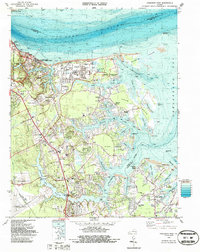
1983 Map of Poquoson West
USGS Topo · Published 1987About this map
Colonial National Historical Park preserves the Revolutionary War legacy at the edge of the York River, showing the locations of historic defenses such as Redoubt 10 and Battle Trenches. The landscape of the 1980s reveals a juxtaposition of preserved history and modern industrial development, anchored by the massive Yorktown Refinery and the U S Naval Supply Center. Residential growth is evident in communities like Seaford Shores and Lakeside Homes, which sit adjacent to older landmarks like Crooks Mem Ch and St Lukes Ch. The southern reaches are defined by the Harwoods Mill Reservoir and the perimeter of the Patrick Henry International Airport, while the coast is dotted with features like the Tue Marshes Lighthouse and numerous points and necks reaching into the Chesapeake Bay.
Find a feature on this map
104 named features on this map. Tap any name to fly to it.
Don’t see what you’re looking for? This feature index may not catch every label — zoom into the map to look around manually.
Map Details
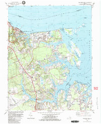
Editions of this 1983 Poquoson West Map
2 editions found
Other maps of this area

1906 · Williamsburg
USGS Topo · 1:62,500

1907 · Yorktown
USGS Topo · 1:62,500

1907 · Hampton
USGS Topo · 1:62,500

1916 · Mathews
USGS Topo · 1:62,500

1917 · Mathews
USGS Topo · 1:62,500

1943 · Yorktown
USGS Topo · 1:62,500

1943 · Richmond
USGS Topo · 1:250,000

1944 · Hampton
USGS Topo · 1:24,000

1944 · Yorktown
USGS Topo · 1:24,000

1944 · Messick
USGS Topo · 1:24,000