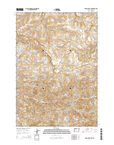
2014 Map of Porcupine Butte
USGS Topo · Published 2014About this map
Porcupine Butte rises as a central landmark in this high-desert region of Wheeler County, where a complex network of seasonal drainages and named canyons defines the land's utility. The drainage patterns of Pine Creek and Stone Cabin Creek reflect a landscape historically managed for ranching and water access, evidenced by the presence of Coates Spring and Starr Spring. Long-established access routes like Stone Cabin Road and Pine Creek Lane follow the natural contours of the terrain, connecting disparate points like Metteer Canyon and Robinson Canyon. The presence of Old Mill Canyon suggests early industrial or agricultural processing in the southern reaches of the quadrangle, while smaller features like Chichester Gulch and Cripple Creek offer specific geographical markers for local family history and land tenure studies.
Find a feature on this map
32 named features on this map. Tap any name to fly to it.
Don’t see what you’re looking for? This feature index may not catch every label — zoom into the map to look around manually.
Map Details
Editions of this 2014 Porcupine Butte Map
This is the sole edition of this map. No revisions or reprints were ever made.
Other maps of this area

1916 · Condon
USGS Topo · 1:125,000

1926 · Mitchell
USGS Topo · 1:125,000

1953 · The Dalles
USGS Topo · 1:250,000

1955 · Bend
USGS Topo · 1:250,000

1956 · The Dalles
USGS Topo · 1:250,000

1957 · Bend
USGS Topo · 1:250,000

1957 · The Dalles
USGS Topo · 1:250,000

1958 · Bend
USGS Topo · 1:250,000

1966 · Kinzua
USGS Topo · 1:62,500

1966 · Clarno
USGS Topo · 1:62,500