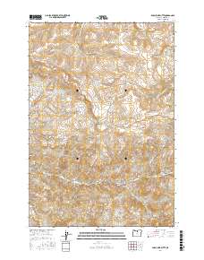
2017 Map of Porcupine Butte
USGS Topo · Published 2017About this map
Porcupine Butte stands as a central high point in this Wheeler County landscape, which is defined by a dense network of drainages and canyons. The terrain transitions from higher elevations in the north toward the Pine Creek valley, where the modern Pine Creek Rd follows the watercourse. This 2017 survey reveals a landscape primarily dedicated to cattle ranching and open space, evidenced by the numerous named water sources like Starr Spring and Coates Spring. The naming of features such as Stone Cabin Cr, Old Mill Canyon, and Bales Canyon suggests a long history of human activity and early settlement tied to local families and resource extraction. The map's detailed topography illustrates the intricate erosion patterns of the region, from the deep Chichester Gulch to the sheltered area known as The Cove.
Find a feature on this map
30 named features on this map. Tap any name to fly to it.
Don’t see what you’re looking for? This feature index may not catch every label — zoom into the map to look around manually.
Map Details
Editions of this 2017 Porcupine Butte Map
This is the sole edition of this map. No revisions or reprints were ever made.
Other maps of this area

1916 · Condon
USGS Topo · 1:125,000

1926 · Mitchell
USGS Topo · 1:125,000

1953 · The Dalles
USGS Topo · 1:250,000

1955 · Bend
USGS Topo · 1:250,000

1956 · The Dalles
USGS Topo · 1:250,000

1957 · Bend
USGS Topo · 1:250,000

1957 · The Dalles
USGS Topo · 1:250,000

1958 · Bend
USGS Topo · 1:250,000

1966 · Kinzua
USGS Topo · 1:62,500

1966 · Clarno
USGS Topo · 1:62,500