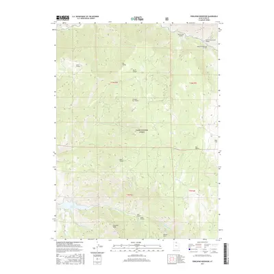
2017 Map of Porcupine Reservoir
USGS Topo · Published 2017About this map
Porcupine Reservoir anchors the southwestern corner of this landscape, where the waters of Porcupine Cr and the E Fork Little Bear River converge. The terrain is defined by a dense network of drainages and high ridges within the Cache National Forest, showing a complex system of canyons that shape the local geography. Significant elevation changes are marked by features like Porcupine Ridge and Mineral Point in the south, while the northern reaches are carved by Devils Gate Canyon and the Blacksmith Fork river. This 2017 survey illustrates the intricate natural drainage patterns of Cache County, where smaller seasonal streams such as Hyrum Cr and Cinnamon Cr feed into the larger river systems. The map details a largely undeveloped mountain environment, highlighting named landmarks such as Bear Flat and Paradise Dry Canyon that serve as vital reference points for local navigation and land management.
Find a feature on this map
26 named features on this map. Tap any name to fly to it.
Don’t see what you’re looking for? This feature index may not catch every label — zoom into the map to look around manually.
Map Details
Editions of this 2017 Porcupine Reservoir Map
This is the sole edition of this map. No revisions or reprints were ever made.
Other maps of this area

1914 · Logan
USGS Topo · 1:125,000

1916 · Logan
USGS Topo · 1:125,000

1949 · Boulter Mts
USGS Topo · 1:24,000

1954 · Ogden
USGS Topo · 1:250,000

1955 · Paradise
USGS Topo · 1:24,000

1955 · James Peak
USGS Topo · 1:24,000

1958 · Ogden
USGS Topo · 1:250,000

1960 · Ogden
USGS Topo · 1:250,000

1961 · Logan
USGS Topo · 1:24,000

1964 · Monte Cristo PK
USGS Topo · 1:24,000