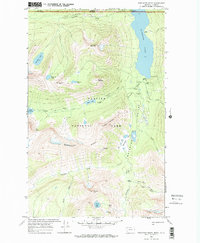
1968 Map of Porcupine Ridge
USGS Topo · Published 1972About this map
The international border between the United States and Canada bisects this mountainous landscape, where the northern edge of Glacier National Park meets Waterton Lakes National Park. The terrain is defined by the massive Porcupine Ridge and high peaks like Campbell Mountain and Shaheeya Peak. Water dominates the eastern half of the sheet, where Waterton Lake fills the deep Waterton Valley, fed by the Waterton River and multiple cascades including Rainbow Falls.
Find a feature on this map
40 named features on this map. Tap any name to fly to it.
Don’t see what you’re looking for? This feature index may not catch every label — zoom into the map to look around manually.
Map Details
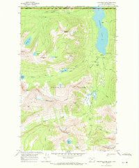
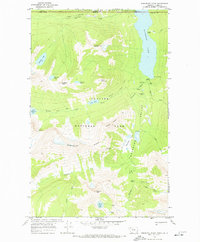
Editions of this 1968 Porcupine Ridge Map
3 editions found
Other maps of this area

1904 · Chief Mountain
USGS Topo · 1:125,000

1906 · Kintla Lakes
USGS Topo · 1:125,000

1938 · Chief Mountain
USGS Topo · 1:125,000

1938 · Kintla Lakes
USGS Topo · 1:125,000

1957 · Kalispell
USGS Topo · 1:250,000

1960 · Kalispell
USGS Topo · 1:250,000

1960 · Cut Bank
USGS Topo · 1:250,000

1961 · Kalispell
USGS Topo · 1:250,000

1963 · Cut Bank
USGS Topo · 1:250,000

1964 · Cut Bank
USGS Topo · 1:250,000