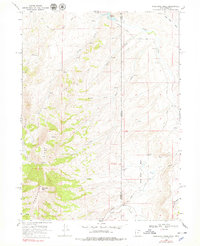
1968 Map of Porcupine Ridge
USGS Topo · Published 1979About this map
Porcupine Ridge dominates this 1968 study, marking a high divide along the border between Summit County, Utah and Uinta County, Wyoming. The landscape is defined by its drainage systems, where seasonal and perennial waters such as Yellow Creek and Willow Creek flow through the high country. In the north, Barker Reservoir serves as a prominent water feature near the county line, while Chalk Creek winds through the southern portion of the sheet.
Find a feature on this map
19 named features on this map. Tap any name to fly to it.
Don’t see what you’re looking for? This feature index may not catch every label — zoom into the map to look around manually.
Map Details
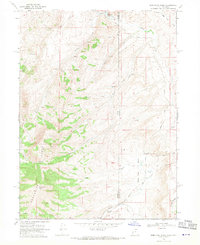
Editions of this 1968 Porcupine Ridge Map
2 editions found
Other maps of this area

1885 · Salt Lake
USGS Topo · 1:250,000

1885 · Uinta
USGS Topo · 1:250,000

1900 · Coalville
USGS Topo · 1:125,000

1901 · Hayden Peak
USGS Topo · 1:125,000

1903 · Hayden Peak
USGS Topo · 1:125,000

1903 · Coalville
USGS Topo · 1:125,000

1954 · Salt Lake City
USGS Topo · 1:250,000

1954 · Ogden
USGS Topo · 1:250,000

1958 · Ogden
USGS Topo · 1:250,000

1958 · Salt Lake City
USGS Topo · 1:250,000