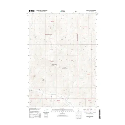
2013 Map of Porphyry Peak
USGS Topo · Published 2013About this map
Porphyry Peak and the high elevations of the White Knob Mountains dominate this high-altitude landscape in the Challis National Forest. The geography is defined by a dense network of mountain drainages, including Boone Cr, Butcher Cr, and Stag Cr, all feeding into the valley of the E Fork Big Lost River. Human activity is sparse in this wilderness terrain, marked primarily by the Rosenkranze Ranch and the tracing of E Fork Rd through the southern river corridor. Notable landmarks like Flat Top, Castle Rock, and the deep indentation of Dry Canyon provide distinctive reference points for those navigating the backcountry between the various township and range boundaries of T7N and T8N.
Find a feature on this map
29 named features on this map. Tap any name to fly to it.
Don’t see what you’re looking for? This feature index may not catch every label — zoom into the map to look around manually.
Map Details
Editions of this 2013 Porphyry Peak Map
This is the sole edition of this map. No revisions or reprints were ever made.
Other maps of this area

1895 · Hailey
USGS Topo · 1:125,000

1897 · Hailey
USGS Topo · 1:125,000

1929 · Bayhorse
USGS Topo · 1:125,000

1935 · MacKay
USGS Topo · 1:96,000

1935 · Borah Peak
USGS Topo · 1:125,000

1938 · Borah Peak
USGS Topo · 1:125,000

1955 · Dubois
USGS Topo · 1:250,000

1955 · Idaho Falls
USGS Topo · 1:250,000

1955 · Hailey
USGS Topo · 1:250,000

1957 · Challis
USGS Topo · 1:250,000