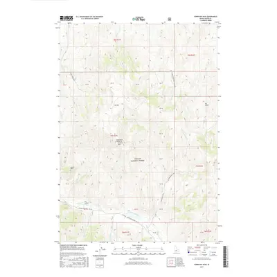
2017 Map of Porphyry Peak
USGS Topo · Published 2017About this map
White Knob Mountains dominate this high-altitude landscape in Custer County, reaching a literal high point at Porphyry Peak. The area is characterized by deep drainage systems within the Challis National Forest, where the E Fork Big Lost River is fed by various seasonal and perennial tributaries such as Castle Cr and Little Boone Cr. Notable geological features like Castle Rock and the plateau of Flat Top sit alongside landmarks like Dry Canyon and Dry Hollow. Human access to this remote terrain is preserved via the Copper Basin Road - FR 135 and a network of backcountry routes including the Grant Creek Trail and the Garden Creek BLM Connector. The map provides a clear picture of the land management boundaries and primitive transportation network used for forest administration and recreation.
Find a feature on this map
32 named features on this map. Tap any name to fly to it.
Don’t see what you’re looking for? This feature index may not catch every label — zoom into the map to look around manually.
Map Details
Editions of this 2017 Porphyry Peak Map
This is the sole edition of this map. No revisions or reprints were ever made.
Other maps of this area

1895 · Hailey
USGS Topo · 1:125,000

1897 · Hailey
USGS Topo · 1:125,000

1929 · Bayhorse
USGS Topo · 1:125,000

1935 · MacKay
USGS Topo · 1:96,000

1935 · Borah Peak
USGS Topo · 1:125,000

1938 · Borah Peak
USGS Topo · 1:125,000

1955 · Dubois
USGS Topo · 1:250,000

1955 · Idaho Falls
USGS Topo · 1:250,000

1955 · Hailey
USGS Topo · 1:250,000

1957 · Challis
USGS Topo · 1:250,000