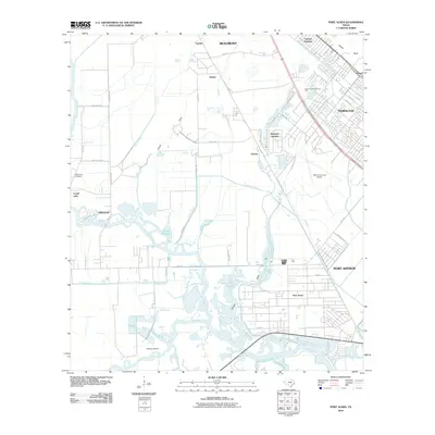
2010 Map of Port Acres
USGS Topo · Published 2010About this map
Taylor Bayou and Hillebrandt Bayou meander through this coastal Texas landscape, defining a region where intricate water management systems support local industry and transit. Large-scale infrastructure like the Port Arthur Canal and the Jefferson County Airport dominate the eastern portions of the map, illustrating the area's role as a major transportation and logistics hub. The map shows the suburban layout of settlements between the larger centers of Beaumont and Port Arthur, including the residential patterns of Port Acres and Beauxart Gardens.
Find a feature on this map
49 named features on this map. Tap any name to fly to it.
Don’t see what you’re looking for? This feature index may not catch every label — zoom into the map to look around manually.
Map Details
Editions of this 2010 Port Acres Map
This is the sole edition of this map. No revisions or reprints were ever made.
Other maps of this area

1926 · Terry
USGS Topo · 1:24,000

1926 · Vidor
USGS Topo · 1:24,000

1932 · Beaumont
USGS Topo · 1:62,500

1943 · Port Arthur North
USGS Topo · 1:24,000

1943 · Terry
USGS Topo · 1:24,000

1943 · Port Arthur South
USGS Topo · 1:24,000

1943 · Fannett East
USGS Topo · 1:24,000

1943 · Beaumont East
USGS Topo · 1:24,000

1945 · Fannett East
USGS Topo · 1:31,680

1950 · Houston
USGS Topo · 1:250,000