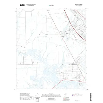
2019 Map of Port Acres
USGS Topo · Published 2019About this map
Port Acres and the surrounding coastal prairie south of Beaumont are defined by a complex network of drainage and industrial waterways including the Port Arthur Canal and the winding Taylor Bayou. This 2019 survey shows the established residential patterns of Nederland and Beauxart Gardens, which sit alongside major infrastructure like the Jack Brooks Regional Airport.
Find a feature on this map
160 named features on this map. Tap any name to fly to it.
Don’t see what you’re looking for? This feature index may not catch every label — zoom into the map to look around manually.
Map Details
Editions of this 2019 Port Acres Map
This is the sole edition of this map. No revisions or reprints were ever made.
Other maps of this area
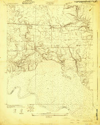
1926 · Terry
USGS Topo · 1:24,000
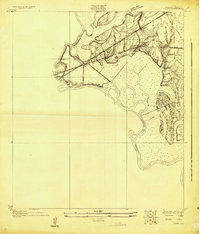
1926 · Vidor
USGS Topo · 1:24,000
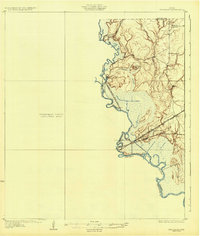
1932 · Beaumont
USGS Topo · 1:62,500
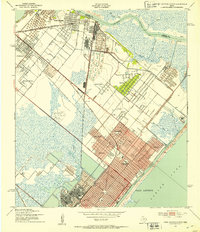
1943 · Port Arthur North
USGS Topo · 1:24,000
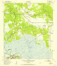
1943 · Terry
USGS Topo · 1:24,000
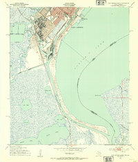
1943 · Port Arthur South
USGS Topo · 1:24,000
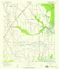
1943 · Fannett East
USGS Topo · 1:24,000
1943 · Beaumont East
USGS Topo · 1:24,000
1945 · Fannett East
USGS Topo · 1:31,680

1950 · Houston
USGS Topo · 1:250,000