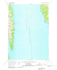
1951 Map of Port Alexander C-2
USGS Topo · Published 1982About this map
Chatham Strait serves as the central maritime corridor of this mid-century coastal survey, separating the steep eastern shores of Baranof Island from the neighboring wilderness. The landscape is defined by deep glacial fjords and high peaks, including Mt Elizabeth and Mt Cecil. A specialized industrial pocket is visible at Washington Bay, where a maritime infrastructure supported by a Seaplane Base, a Reduction Plant, and the Washington Bay Light points to the region's historical reliance on commercial fishing and remote air transport. To the south, long inlets like Patterson Bay and Gut Bay cut deep into the mountain range. Most of the land falls within the Tongass National Forest, illustrating a time when Sitka's jurisdictional reach extended across these uninhabited but economically vital waterways.
Find a feature on this map
17 named features on this map. Tap any name to fly to it.
Don’t see what you’re looking for? This feature index may not catch every label — zoom into the map to look around manually.
Map Details
Editions of this 1951 Port Alexander C-2 Map
3 editions found
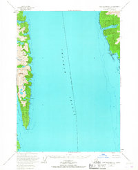
Other maps of this area

1948 · Port Alexander C-1
USGS Topo · 1:63,360

1948 · Port Alexander B-1
USGS Topo · 1:63,360

1948 · Port Alexander D-1
USGS Topo · 1:63,360

1948 · Port Alexander B-2
USGS Topo · 1:63,360

1951 · Port Alexander C-2
USGS Topo · 1:63,360

1951 · Port Alexander B-3 and B-4
USGS Topo · 1:63,360

1951 · Port Alexander C-3
USGS Topo · 1:63,360

1951 · Port Alexander D-3
USGS Topo · 1:63,360

1951 · Port Alexander
USGS Topo · 1:250,000

1951 · Port Alexander D-2
USGS Topo · 1:63,360