
1951 Map of Port Alexander D-2
USGS Topo · Published 1959About this map
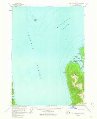
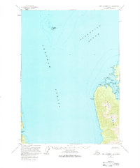
Kuiu Island and the rugged shoreline of Security Bay dominate this 1950s hydrographic and topographic study of the Alexander Archipelago. The map illustrates a landscape shaped by maritime navigation, with specific markers like the Kingsmill Pt VABM 28 triangulation station and several Cabins scattered along the protected inlets of the eastern shore. Across the deep waters of Chatham Strait lies a sliver of Baranof Island at Hoggatt Bay, while Frederick Sound opens to the northeast.
Find a feature on this map
25 named features on this map. Tap any name to fly to it.
Don’t see what you’re looking for? This feature index may not catch every label — zoom into the map to look around manually.
Map Details
Editions of this 1951 Port Alexander D-2 Map
3 editions found
Other maps of this area

1948 · Sitka A-3
USGS Topo · 1:63,360

1948 · Sitka A-2
USGS Topo · 1:63,360

1948 · Port Alexander C-1
USGS Topo · 1:63,360

1948 · Port Alexander D-1
USGS Topo · 1:63,360

1948 · Sitka A-1
USGS Topo · 1:63,360

1951 · Sitka
USGS Topo · 1:250,000

1951 · Port Alexander C-2
USGS Topo · 1:63,360

1951 · Port Alexander C-3
USGS Topo · 1:63,360

1951 · Port Alexander D-3
USGS Topo · 1:63,360

1951 · Port Alexander
USGS Topo · 1:250,000