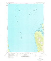
1951 Map of Port Alexander D-2
USGS Topo · Published 1984About this map
Chatham Strait and Frederick Sound converge in this mid-century hydrographic and topographic study of Alaska’s Inside Passage. The map highlights the rugged northern coastline of Kuiu Island and the eastern edge of Baranof Island, areas defined by deep inlets and hazardous maritime passages. Notable navigational landmarks such as Kingsmill Pt VABM 28 and Yasha Island serve as primary points of orientation within these cold waters.
Find a feature on this map
27 named features on this map. Tap any name to fly to it.
Don’t see what you’re looking for? This feature index may not catch every label — zoom into the map to look around manually.
Map Details
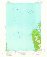
Editions of this 1951 Port Alexander D-2 Map
3 editions found

Other maps of this area

1948 · Sitka A-3
USGS Topo · 1:63,360

1948 · Sitka A-2
USGS Topo · 1:63,360

1948 · Port Alexander C-1
USGS Topo · 1:63,360

1948 · Port Alexander D-1
USGS Topo · 1:63,360

1948 · Sitka A-1
USGS Topo · 1:63,360

1951 · Sitka
USGS Topo · 1:250,000

1951 · Port Alexander C-2
USGS Topo · 1:63,360

1951 · Port Alexander C-3
USGS Topo · 1:63,360

1951 · Port Alexander D-3
USGS Topo · 1:63,360

1951 · Port Alexander
USGS Topo · 1:250,000