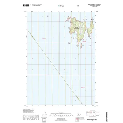
2017 Map of Port Alexander D-5 SW
USGS Topo · Published 2017About this map
Biorka Island and its smaller neighbor, Little Biorka Island, dominate this maritime survey of the outer coast where the Gulf of Alaska meets the Inside Passage. Managed as part of the Tongass National Forest, these landmasses are defined by a complex shoreline of inlets and hazards, including the prominent Biorka Reef to the northwest. The southern tip of the main island ends at the sharp finger of Point Woodhouse, flanked by a scattering of smaller outcrops such as Kaiuchali Island and Terbilon Island. Deep-water access is indicated by Symonds Bay and Rocky Cove, which provide natural, if exposed, anchorages along the rocky perimeter. The map also documents named navigation marks like Gunboat Rock and Vasilief Rock, essential for maritime history and navigation research in this remote Sitka Borough reach.
Find a feature on this map
22 named features on this map. Tap any name to fly to it.
Don’t see what you’re looking for? This feature index may not catch every label — zoom into the map to look around manually.
Map Details
Editions of this 2017 Port Alexander D-5 SW Map
This is the sole edition of this map. No revisions or reprints were ever made.
Other maps of this area

1951 · Port Alexander D-5
USGS Topo · 1:63,360

1951 · Port Alexander
USGS Topo · 1:250,000

1952 · Port Alexander
USGS Topo · 1:250,000

1964 · Port Alexander
USGS Topo · 1:250,000
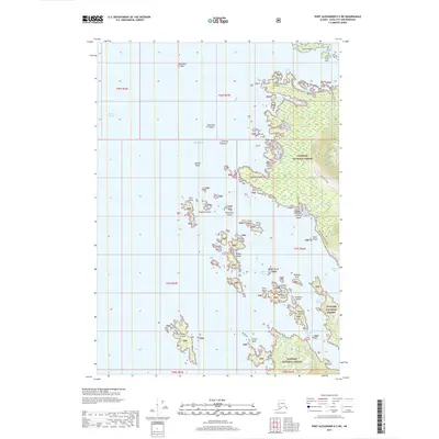
2017 · Port Alexander D-5 NE
USGS Topo · 1:25,000
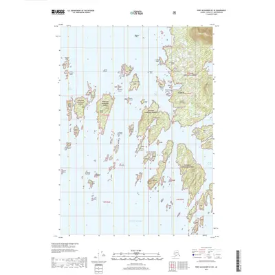
2017 · Port Alexander D-5 SE
USGS Topo · 1:25,000
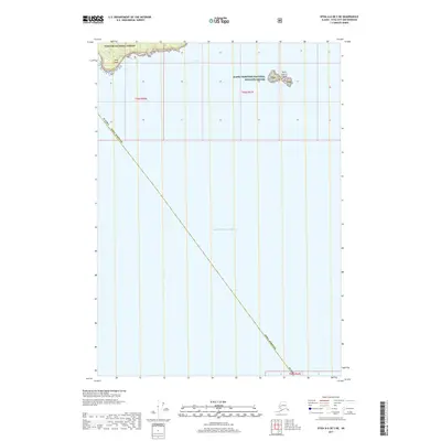
2017 · Sitka A-6 OE S NE
USGS Topo · 1:25,000
2017 · Port Alexander D-5 NW
USGS Topo · 1:25,000
2018 · Port Alexander C-4 OE W NE
USGS Topo · 1:25,000
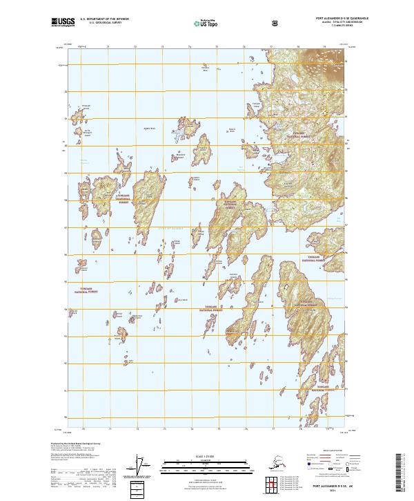
2021 · Port Alexander D-5 SE
USGS Topo · 1:25,000