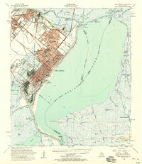
1957 Map of Port Arthur
USGS Topo · Published 1958About this map
Industrial energy and coastal geography intersect in this mid-century survey of Port Arthur and its neighboring refinery towns. The landscape is defined by the heavy infrastructure of the era, including multiple Oil Refinery sites, extensive Tank Farm layouts, and a dense network of rail lines like the Kansas City Southern and Southern Pacific. The urban development of Groves, Nederland, and Port Neches is clearly visible, showing a corridor of residential growth and schools such as Wheatly Sch and Carver Sch situated near the industrial waterfront.
Find a feature on this map
90 named features on this map. Tap any name to fly to it.
Don’t see what you’re looking for? This feature index may not catch every label — zoom into the map to look around manually.
Map Details
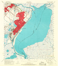
Editions of this 1957 Port Arthur Map
2 editions found
Other maps of this area

1926 · Terry
USGS Topo · 1:24,000

1926 · Vidor
USGS Topo · 1:24,000

1932 · Sabine Pass NE
USGS Topo · 1:31,680

1932 · Beaumont
USGS Topo · 1:62,500

1932 · Orange
USGS Topo · 1:62,500

1932 · Port Arthur NE
USGS Topo · 1:31,680

1934 · Johnsons Bayou
USGS Topo · 1:24,000

1934 · Greens Bayou
USGS Topo · 1:24,000

1935 · Greens Bayou
USGS Topo · 1:31,680

1935 · Johnsons Bayou
USGS Topo · 1:31,680