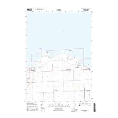
2014 Map of Port Austin East
USGS Topo · Published 2014About this map
Port Austin and Grind Stone City anchor this northern tip of Michigan's Thumb, where the land meets the expansive waters of Lake Huron. The landscape is defined by its coastal landmarks and a grid of rural roads named for early families and local geography, such as Thuemmel Rd, Hellems Rd, and Tomlinson Rd. For those researching local heritage, the map identifies significant burial sites including Saint Michael Cem and Port Austin Cem. Along the jagged shoreline, geographic features like Burnt Cabin Point and Pointe aux Barques break the coastline into distinct coves like Alaska Bay and Eagle Bay. The presence of the Grindstone Air Harbor Airport and the transition between agricultural sections and maritime edges highlights the area's dual identity as both a lakeside retreat and a settled farming community.
Find a feature on this map
81 named features on this map. Tap any name to fly to it.
Don’t see what you’re looking for? This feature index may not catch every label — zoom into the map to look around manually.
Map Details
Editions of this 2014 Port Austin East Map
This is the sole edition of this map. No revisions or reprints were ever made.
Other maps of this area

1954 · Flint
USGS Topo · 1:250,000

1954 · Tawas City
USGS Topo · 1:250,000

1958 · Flint
USGS Topo · 1:250,000

1958 · Tawas City
USGS Topo · 1:250,000

1970 · Port Austin East
USGS Topo · 1:24,000

1970 · Kinde East
USGS Topo · 1:24,000

1970 · Redman
USGS Topo · 1:24,000

1970 · Huron City
USGS Topo · 1:24,000

1970 · Port Austin West
USGS Topo · 1:24,000

1970 · Kinde West
USGS Topo · 1:24,000
Featured Places
- Port Austin, MI
- Dwight Township, MI
- Pointe aux Barques, MI
- Point Aux Barques, MI
- Port Austin Township, MI