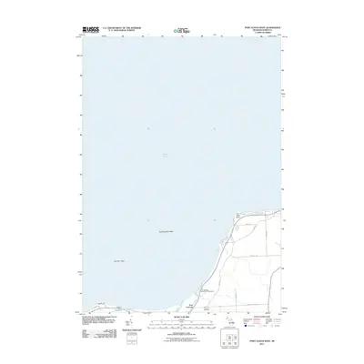
2011 Map of Port Austin West
USGS Topo · Published 2011About this map
Lake Huron defines the northern reaches of this coastal Michigan landscape, where the Pinnebog River winds toward the lake near the settlement of Port Crescent. The area is characterized by significant aquatic hazards and shoreline features, including Flat Rock Point Reef and Hat Point Reef, which extend into the lake from their respective headlands. Land use is largely recreational and residential, centered around the Port Crescent State Park Campground and Duggan's Family Campground. Local genealogy and history are anchored at the Port Crescent Cemetery, located south of the main river outlet. A network of rural roads like Sand Rd and Pointview Trl provide access to the various points and coves that dot this part of the Thumb region.
Find a feature on this map
21 named features on this map. Tap any name to fly to it.
Don’t see what you’re looking for? This feature index may not catch every label — zoom into the map to look around manually.
Map Details
Editions of this 2011 Port Austin West Map
This is the sole edition of this map. No revisions or reprints were ever made.
Other maps of this area

1954 · Flint
USGS Topo · 1:250,000

1954 · Tawas City
USGS Topo · 1:250,000

1958 · Flint
USGS Topo · 1:250,000

1958 · Tawas City
USGS Topo · 1:250,000
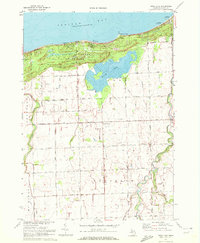
1970 · Rush Lake
USGS Topo · 1:24,000

1970 · Port Austin East
USGS Topo · 1:24,000

1970 · Kinde East
USGS Topo · 1:24,000

1970 · Port Austin West
USGS Topo · 1:24,000

1970 · Kinde West
USGS Topo · 1:24,000

1984 · Harbor Beach
USGS Topo · 1:100,000