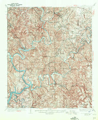
1938 Map of Port Birmingham
USGS Topo · Published 1944About this map
Port Birmingham and the surrounding riverine landscape of the Black Warrior River valley define this mid-1930s survey. The map documents the convergence of the Mulberry Fork and Locust Fork, where the river network supported a burgeoning industrial and transit corridor for Walker Co and Jefferson Co. The terrain is marked by numerous family-named camps and landings, such as Pennsylvania Camp and Davis Camp, alongside vital river crossings like Reed Ferry and Underwood Ferry.
Find a feature on this map
104 named features on this map. Tap any name to fly to it.
Don’t see what you’re looking for? This feature index may not catch every label — zoom into the map to look around manually.
Map Details
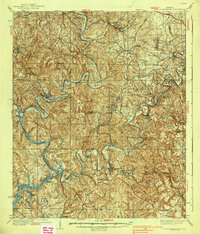
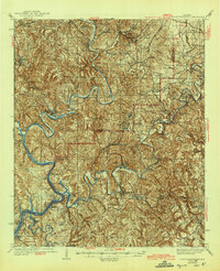
Editions of this 1938 Port Birmingham Map
4 editions found

Other maps of this area

1889 · Birmingham
USGS Topo · 1:125,000

1890 · Bessemer
USGS Topo · 1:125,000

1892 · Birmingham
USGS Topo · 1:125,000

1892 · Bessemer
USGS Topo · 1:125,000

1893 · Jasper
USGS Topo · 1:125,000

1895 · Birmingham
USGS Topo · 1:125,000

1899 · Brookwood
USGS Topo · 1:125,000

1904 · Birmingham Coal District
USGS Topo · 1:62,500

1905 · Bessemer Iron District
USGS Topo · 1:62,500

1906 · Birmingham Special
USGS Topo · 1:62,500