
1938 Map of Port Birmingham
USGS Topo · Published 1938About this map
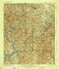
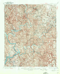
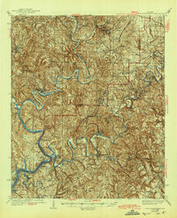
The winding convergence of the Mulberry Fork and the Locust Fork into the Black Warrior River dominates this 1930s landscape along the border of Walker and Jefferson counties. As a critical hub for industry and transport, Port Birmingham sits near the terminal points of the Louisville & Nashville RR and the Southern Ry, illustrating the era's reliance on river-to-rail logistics. The terrain is dense with coal-era settlements and mining camps like Praco, Labuco, and Bessie, connected by a network of historic river crossings including Atwood Ferry and Taylor Ferry.
Find a feature on this map
95 named features on this map. Tap any name to fly to it.
Don’t see what you’re looking for? This feature index may not catch every label — zoom into the map to look around manually.
Map Details
Editions of this 1938 Port Birmingham Map
4 editions found
Other maps of this area

1889 · Birmingham
USGS Topo · 1:125,000

1890 · Bessemer
USGS Topo · 1:125,000

1892 · Birmingham
USGS Topo · 1:125,000

1892 · Bessemer
USGS Topo · 1:125,000

1893 · Jasper
USGS Topo · 1:125,000

1895 · Birmingham
USGS Topo · 1:125,000

1899 · Brookwood
USGS Topo · 1:125,000

1904 · Birmingham Coal District
USGS Topo · 1:62,500

1905 · Bessemer Iron District
USGS Topo · 1:62,500

1906 · Birmingham Special
USGS Topo · 1:62,500