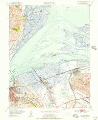
1951 Map of Port Chicago
USGS Topo · Published 1956About this map
Suisun Bay and the surrounding marshlands of the Sacramento–San Joaquin River Delta define this industrial and maritime landscape at the mid-century. The map captures a critical period for Port Chicago and the neighboring Naval Reservation, showing the extensive network of the Southern Pacific and Atchison Topeka and Santa Fe railroads serving the waterfront. Significant industrial infrastructure is visible along the Carquinez Strait, including the Oil Refinery at Avon and multiple Oil Tanks situated near the Mokelumne Aqueduct.
Find a feature on this map
50 named features on this map. Tap any name to fly to it.
Don’t see what you’re looking for? This feature index may not catch every label — zoom into the map to look around manually.
Map Details
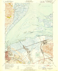
Editions of this 1951 Port Chicago Map
2 editions found
Other maps of this area

1896 · Carquinez Strait
USGS Topo · 1:62,500

1896 · Mt. Diablo
USGS Topo · 1:62,500

1897 · Concord
USGS Topo · 1:62,500

1898 · Karquines
USGS Topo · 1:62,500

1898 · Mt. Diablo
USGS Topo · 1:62,500

1901 · Karquines
USGS Topo · 1:62,500

1902 · Napa
USGS Topo · 1:125,000

1907 · Antioch
USGS Topo · 1:62,500

1908 · Antioch
USGS Topo · 1:62,500

1915 · Concord
USGS Topo · 1:62,500