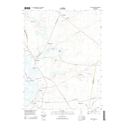
2014 Map of Port Elizabeth
USGS Topo · Published 2014About this map
The Maurice River valley serves as the central artery for this portion of southern New Jersey, where several historic riverfront villages are established along its banks. The map traces the corridor from Port Elizabeth down through Bricksboro, Mauricetown, and Dorchester to Leesburg, illustrating a settlement pattern deeply tied to the tidal waters. To the east, the landscape transitions into the drainage basins of the Manumuskin River and Muskee Cr, where smaller outposts like Jones Mill and Ormond are situated.
Find a feature on this map
68 named features on this map. Tap any name to fly to it.
Don’t see what you’re looking for? This feature index may not catch every label — zoom into the map to look around manually.
Map Details
Editions of this 2014 Port Elizabeth Map
This is the sole edition of this map. No revisions or reprints were ever made.
Other maps of this area

1888 · Dennisville
USGS Topo · 1:62,500

1890 · Tuckahoe
USGS Topo · 1:62,500

1890 · Maurice Cove
USGS Topo · 1:62,500

1890 · Bridgeton
USGS Topo · 1:62,500

1891 · Maurice Cove
USGS Topo · 1:62,500

1893 · Tuckahoe
USGS Topo · 1:62,500

1894 · Dennisville
USGS Topo · 1:62,500

1894 · Bridgeton
USGS Topo · 1:62,500

1899 · Vineland
USGS Topo · 1:125,000

1918 · Tuckahoe
USGS Topo · 1:62,500
Featured Places
- Millville, NJ
- Upper Township, NJ
- Maurice River Township, NJ
- Commercial Township, NJ
- Leesburg, Maurice River Township