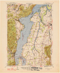
1947 Map of Port Henry
USGS Topo · Published 1947About this map
Lake Champlain serves as the central artery for this 1947 survey, dividing the steep, wooded heights of the Adirondacks from the agricultural lowlands of the Champlain Valley. On the New York shore, the industrial and transport hub of Port Henry sits beneath the shadow of Bald Peak, while the Delaware and Hudson railroad traces the shoreline northward through Westport. This era captures the transition from traditional lake commerce to modern automobile transit, marked by the Lake Champlain Toll Bridge connecting the New York peninsula to the Vermont shore.
Find a feature on this map
150 named features on this map. Tap any name to fly to it.
Don’t see what you’re looking for? This feature index may not catch every label — zoom into the map to look around manually.
Map Details
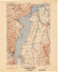
Editions of this 1947 Port Henry Map
2 editions found
Other maps of this area

1894 · Elizabethtown
USGS Topo · 1:62,500

1894 · Port Henry
USGS Topo · 1:62,500

1894 · Ticonderoga
USGS Topo · 1:62,500

1895 · Willsboro
USGS Topo · 1:62,500

1895 · Elizabethtown
USGS Topo · 1:62,500

1895 · Ausable
USGS Topo · 1:62,500

1895 · Paradox Lake
USGS Topo · 1:62,500

1896 · Ticonderoga
USGS Topo · 1:62,500

1897 · Paradox Lake
USGS Topo · 1:62,500

1898 · Port Henry
USGS Topo · 1:62,500