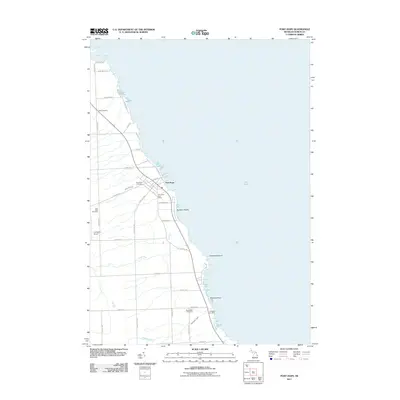
2011 Map of Port Hope
USGS Topo · Published 2011About this map
The Lake Huron shoreline in Huron County defines this part of the Michigan Thumb, where the village of Port Hope serves as the primary settlement. This 2011 survey illustrates a landscape of established agriculture and coastal geography, marked by a high concentration of burial grounds including Gore Cemetery, Port Hope Cemetery, and Forest Bay Cemetery. The township's infrastructure is anchored by the Port Hope Post Office and the small Ludington Airport located further inland. Along the coast, geological features like Hardwood Point and Smokers Point punctuate the lakefront, while small watercourses such as Diamond Creek and Ocha Creek drain toward the shore. To the south, Ludington Cemetery and the settlement of Rubicon Beach show the continued development of the lakefront, even as the interior maintains a grid of rural routes such as Filion Rd and Swayze Rd.
Find a feature on this map
42 named features on this map. Tap any name to fly to it.
Don’t see what you’re looking for? This feature index may not catch every label — zoom into the map to look around manually.
Map Details
Editions of this 2011 Port Hope Map
This is the sole edition of this map. No revisions or reprints were ever made.
Other maps of this area

1954 · Flint
USGS Topo · 1:250,000

1954 · Tawas City
USGS Topo · 1:250,000

1958 · Flint
USGS Topo · 1:250,000

1958 · Tawas City
USGS Topo · 1:250,000

1970 · Port Hope
USGS Topo · 1:24,000

1970 · Redman
USGS Topo · 1:24,000

1970 · Huron City
USGS Topo · 1:24,000

1970 · Harbor Beach
USGS Topo · 1:24,000

1970 · Bad Axe SE
USGS Topo · 1:24,000

1984 · Harbor Beach
USGS Topo · 1:100,000