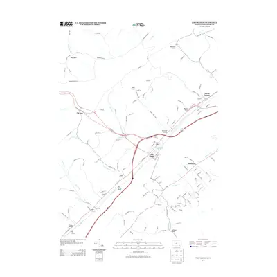
2013 Map of Port Matilda
USGS Topo · Published 2013About this map
Port Matilda sits at a geographic crossroads in Centre County, where the waters of Bald Eagle Cr meet tributary runs. This modern survey illustrates the persistent layout of older valley settlements, including the historical iron industry site at Martha Furnace and the village of Stormstown. The landscape is defined by its deep hollows and high ridges, punctuated by prominent features such as Wolf Rocks and Flat Rock. Agricultural and residential patterns follow the lowlands of Halfmoon Valley and the banks of Halfmoon Cr. Significant infrastructure and local industry are evidenced by corridors like Clay Mine RD and the proximity to the Foster Joseph Sayers Lake recreational area. Smaller hamlets like Centennial and Hannah remain clearly demarcated, providing a detailed record of central Pennsylvania's rural geography and settlement continuity.
Find a feature on this map
133 named features on this map. Tap any name to fly to it.
Don’t see what you’re looking for? This feature index may not catch every label — zoom into the map to look around manually.
Map Details
Editions of this 2013 Port Matilda Map
This is the sole edition of this map. No revisions or reprints were ever made.
Other maps of this area

1908 · Bellefonte
USGS Topo · 1:62,500

1909 · Bellefonte
USGS Topo · 1:62,500

1919 · Menno
USGS Topo · 1:62,500

1922 · Philipsburg
USGS Topo · 1:62,500

1923 · Tyrone
USGS Topo · 1:62,500

1929 · Tyrone
USGS Topo · 1:48,000

1933 · Tyrone
USGS Topo · 1:62,500

1935 · Allensville
USGS Topo · 1:62,500

1938 · Allensville
USGS Topo · 1:62,500

1939 · Philipsburg
USGS Topo · 1:62,500