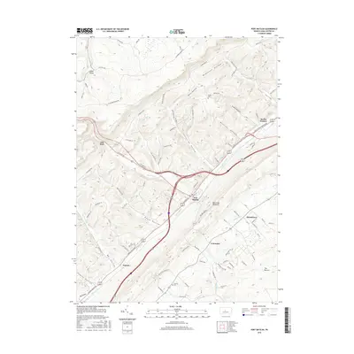
2016 Map of Port Matilda
USGS Topo · Published 2016About this map
Port Matilda serves as the central hub of this modern topographic survey, situated at the confluence where Bald Eagle Creek begins its course along the base of Bald Eagle Mountain. The map illustrates the contemporary transportation corridor of the Appalachian Throughway as it intersects with historic settlement patterns. To the northeast, the site of Martha Furnace recalls the region's industrial heritage, while the small communities of Hannah, Centennial, and Stormstown are distributed along the valley floor. The geography is defined by a series of steep drainages, such as Reese Hollow and Steel Hollow, which cut through the high ridges to the north and south. Notable local landmarks including Flat Rock and Wolf Rocks stand out in the higher elevations, while quiet local history is preserved at the Friends Cem and Brown Cem. The southeast corner of the quadrangle gives way to the unique terrain of The Barrens, contrasting with the more defined hollows found elsewhere.
Find a feature on this map
109 named features on this map. Tap any name to fly to it.
Don’t see what you’re looking for? This feature index may not catch every label — zoom into the map to look around manually.
Map Details
Editions of this 2016 Port Matilda Map
This is the sole edition of this map. No revisions or reprints were ever made.
Other maps of this area

1908 · Bellefonte
USGS Topo · 1:62,500

1909 · Bellefonte
USGS Topo · 1:62,500

1919 · Menno
USGS Topo · 1:62,500

1922 · Philipsburg
USGS Topo · 1:62,500

1923 · Tyrone
USGS Topo · 1:62,500

1929 · Tyrone
USGS Topo · 1:48,000

1933 · Tyrone
USGS Topo · 1:62,500

1935 · Allensville
USGS Topo · 1:62,500

1938 · Allensville
USGS Topo · 1:62,500

1939 · Philipsburg
USGS Topo · 1:62,500