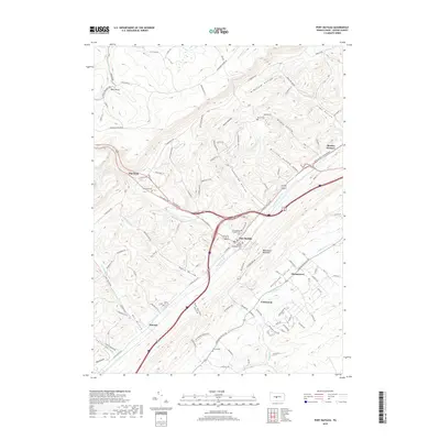
2019 Map of Port Matilda
USGS Topo · Published 2019About this map
Port Matilda occupies a strategic position where the Bald Eagle Mountain range meets the expansive Halfmoon Valley. This modern topographical study illustrates the deep-rooted settlement patterns of Centre County, where small communities like Stormstown, Centennial, and Hannah remain anchored along the valley floor. The landscape is defined by its dramatic series of hollows, including Wills Hollow, McDonald Hollow, and Steel Hollow, which drain the surrounding ridges into Bald Eagle Creek. Local history is preserved through numerous family and community landmarks, from the industrial heritage at Martha Furnace to the quiet presence of the Friends Cemetery and Port Matilda Presbyterian Cemetery. The map captures the transit corridor of the 28th Division Highway as it follows the natural contours of the ridge and valley province.
Find a feature on this map
113 named features on this map. Tap any name to fly to it.
Don’t see what you’re looking for? This feature index may not catch every label — zoom into the map to look around manually.
Map Details
Editions of this 2019 Port Matilda Map
This is the sole edition of this map. No revisions or reprints were ever made.
Other maps of this area

1908 · Bellefonte
USGS Topo · 1:62,500

1909 · Bellefonte
USGS Topo · 1:62,500

1919 · Menno
USGS Topo · 1:62,500

1922 · Philipsburg
USGS Topo · 1:62,500

1923 · Tyrone
USGS Topo · 1:62,500

1929 · Tyrone
USGS Topo · 1:48,000

1933 · Tyrone
USGS Topo · 1:62,500

1935 · Allensville
USGS Topo · 1:62,500

1938 · Allensville
USGS Topo · 1:62,500

1939 · Philipsburg
USGS Topo · 1:62,500