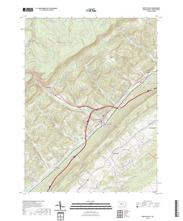
2023 Map of Port Matilda
USGS Topo · Published 2023About this map
Port Matilda sits at the convergence of mountain ridges and valley corridors, where the Bald Eagle Creek drainage defines the lowlands beneath the prominent Bald Eagle Mountain. The landscape is a complex network of hollows such as Wills Hollow and Sunnyside Hollow, which funnel local runoff toward the central valley. This 2023 survey illustrates a modern infrastructure overlaying a long-settled rural geography, with the Appalachain Throughway and the Twenty-Eighth Division Hwy intersecting near the borough.
Find a feature on this map
115 named features on this map. Tap any name to fly to it.
Don’t see what you’re looking for? This feature index may not catch every label — zoom into the map to look around manually.
Map Details
Editions of this 2023 Port Matilda Map
This is the sole edition of this map. No revisions or reprints were ever made.
Other maps of this area

1908 · Bellefonte
USGS Topo · 1:62,500

1909 · Bellefonte
USGS Topo · 1:62,500

1919 · Menno
USGS Topo · 1:62,500

1922 · Philipsburg
USGS Topo · 1:62,500

1923 · Tyrone
USGS Topo · 1:62,500

1929 · Tyrone
USGS Topo · 1:48,000

1933 · Tyrone
USGS Topo · 1:62,500

1935 · Allensville
USGS Topo · 1:62,500

1938 · Allensville
USGS Topo · 1:62,500

1939 · Philipsburg
USGS Topo · 1:62,500