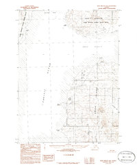
1983 Map of Port Moller B-3
USGS Topo · Published 1986About this map
Unga Island dominates this maritime survey, separated from the mainland by the waters of the Unga Strait. The rugged coastline is defined by prominent landmarks such as Unga Spit and the steep elevation changes near Zachary Bay. To the north, the Alaska Peninsula National Wildlife Refuge encompasses the mainland territory around Beaver Bay, where Cape Aliaksin juts into the sea.
Find a feature on this map
14 named features on this map. Tap any name to fly to it.
Don’t see what you’re looking for? This feature index may not catch every label — zoom into the map to look around manually.
Map Details
Editions of this 1983 Port Moller B-3 Map
2 editions found
Other maps of this area

1953 · Port Moller
USGS Topo · 1:250,000
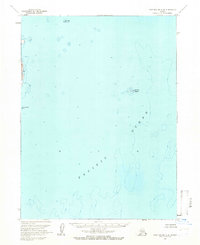
1963 · Port Moller A-4
USGS Topo · 1:63,360

1963 · Port Moller A-2
USGS Topo · 1:63,360

1963 · Port Moller B-2
USGS Topo · 1:63,360

1963 · Port Moller C-2
USGS Topo · 1:63,360
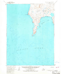
1963 · Port Moller A-3
USGS Topo · 1:63,360

1983 · Port Moller B-3
USGS Topo · 1:63,360

1983 · Port Moller C-4
USGS Topo · 1:63,360
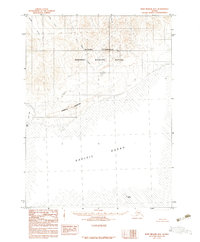
1983 · Port Moller B-4
USGS Topo · 1:63,360

1983 · Port Moller C-3
USGS Topo · 1:63,360