
1963 Map of Port Moller D-5
USGS Topo · Published 1966About this map
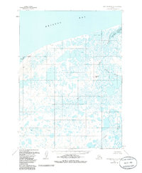
Nelson Lagoon and the surrounding marshlands of the Alaska Peninsula are captured here in a period of transition between the late 1950s and early 1960s. The landscape is defined by an intricate network of water, where the Caribou Sapsuk River and David River snake through a labyrinth of small ponds and unnamed wetlands before reaching the Bering Sea. This area, managed by the Bureau of Land Management, shows little in the way of permanent infrastructure, save for isolated cabins that suggest the seasonal presence of trappers, hunters, or fishers along the coast and inland waterways.
Find a feature on this map
19 named features on this map. Tap any name to fly to it.
Don’t see what you’re looking for? This feature index may not catch every label — zoom into the map to look around manually.
Map Details
Editions of this 1963 Port Moller D-5 Map
2 editions found
Other maps of this area

1953 · Port Moller
USGS Topo · 1:250,000

1963 · Port Moller C-5
USGS Topo · 1:63,360

1963 · Port Moller C-6
USGS Topo · 1:63,360
1963 · Port Moller D-6
USGS Topo · 1:63,360
1963 · Port Moller D-4
USGS Topo · 1:63,360

1983 · Port Moller C-4
USGS Topo · 1:63,360

1988 · Port Moller
USGS Topo · 1:250,000
2020 · Port Moller D-4 OE N SW
USGS Topo · 1:25,000
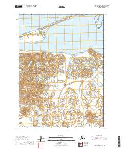
2020 · Port Moller D-4 NW
USGS Topo · 1:25,000
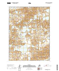
2020 · Port Moller D-6 SE
USGS Topo · 1:25,000