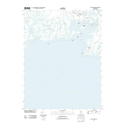
2011 Map of Port Norris
USGS Topo · Published 2011About this map
Port Norris serves as the inland hub for this coastal region of Cumberland County, where the Maurice River flows toward the expanse of the Delaware Bay. The geography of the shoreline is defined by intricate tidal wetlands and inlets, including Dividing Creek and Hansey Creek. Downstream from the main settlement, the smaller communities of Bivalve and Shell Pile cluster along the riverbanks, their names nodding to the area’s longstanding maritime and oystering heritage. The landscape is marked by low-lying terrain features like Basket Flat and Fowler Island, while the eastern bank is shaped by the Maurice River Neck. Local infrastructure, including the Earth Dike and a network of rural roads like Robbinstown Rd, illustrates the ongoing human efforts to manage the wetlands and maintain access to remote outposts such as Matts Landing.
Find a feature on this map
37 named features on this map. Tap any name to fly to it.
Don’t see what you’re looking for? This feature index may not catch every label — zoom into the map to look around manually.
Map Details
Editions of this 2011 Port Norris Map
This is the sole edition of this map. No revisions or reprints were ever made.
Other maps of this area

1888 · Dennisville
USGS Topo · 1:62,500

1890 · Tuckahoe
USGS Topo · 1:62,500

1890 · Maurice Cove
USGS Topo · 1:62,500

1890 · Bridgeton
USGS Topo · 1:62,500

1891 · Maurice Cove
USGS Topo · 1:62,500

1893 · Tuckahoe
USGS Topo · 1:62,500

1894 · Dennisville
USGS Topo · 1:62,500

1894 · Bridgeton
USGS Topo · 1:62,500

1899 · Vineland
USGS Topo · 1:125,000

1918 · Tuckahoe
USGS Topo · 1:62,500
Featured Places
- Maurice River Township, NJ
- Commercial Township, NJ
- Downe Township, NJ
- Shell Pile, Commercial Township
- Port Norris, Commercial Township