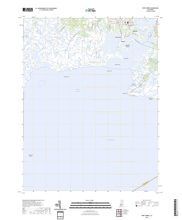
2023 Map of Port Norris
USGS Topo · Published 2023About this map
The Maurice River estuary defines this coastal landscape where the river meets the Delaware Bay and Maurice River Cove. The maritime character of Cumberland County is evident in the cluster of waterfront settlements including Port Norris, Bivalve, and Shell Pile, which have historically centered on the region's oyster industry. Local history is anchored at the north end of town by the Port Norris Cem and the GAR Cemetery, alongside the Jacob C Shinn Post Number 6.
Find a feature on this map
50 named features on this map. Tap any name to fly to it.
Don’t see what you’re looking for? This feature index may not catch every label — zoom into the map to look around manually.
Map Details
Editions of this 2023 Port Norris Map
This is the sole edition of this map. No revisions or reprints were ever made.
Other maps of this area

1888 · Dennisville
USGS Topo · 1:62,500

1890 · Tuckahoe
USGS Topo · 1:62,500

1890 · Maurice Cove
USGS Topo · 1:62,500

1890 · Bridgeton
USGS Topo · 1:62,500

1891 · Maurice Cove
USGS Topo · 1:62,500

1893 · Tuckahoe
USGS Topo · 1:62,500

1894 · Dennisville
USGS Topo · 1:62,500

1894 · Bridgeton
USGS Topo · 1:62,500

1899 · Vineland
USGS Topo · 1:125,000

1918 · Tuckahoe
USGS Topo · 1:62,500
Featured Places
- Maurice River Township, NJ
- Commercial Township, NJ
- Downe Township, NJ
- Bivalve, Commercial Township
- Shell Pile, Commercial Township