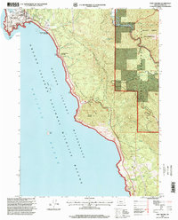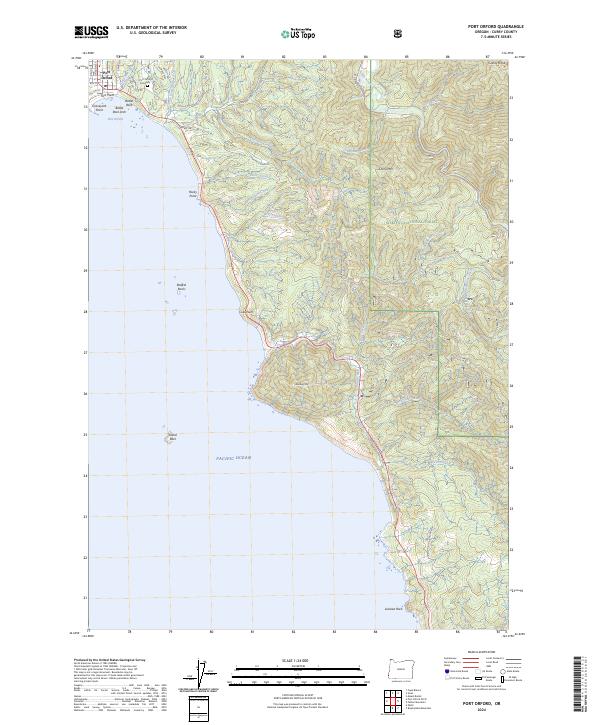
2024 Map of Port Orford
USGS Topo · Published 2024About this map
Port Orford sits at the edge of the Pacific Ocean, where the coastal mountains meet the sea in a series of prominent headlands. This 2024 survey documents the complex geography of the shoreline, defined by distinctive landmarks like Battle Rock, Graveyard Point, and Fort Point near the town center. Local history is anchored at the Port Orford Cemetery along Cemetery Loop Rd, while the surrounding landscape is preserved through the Oregon Islands National Wildlife Refuge and the Grassy Knob Wilderness.
Find a feature on this map
51 named features on this map. Tap any name to fly to it.
Don’t see what you’re looking for? This feature index may not catch every label — zoom into the map to look around manually.
Map Details
Editions of this 2024 Port Orford Map
This is the sole edition of this map. No revisions or reprints were ever made.
Historical Maps of Port Orford Through Time
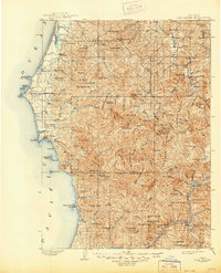
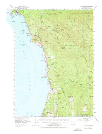
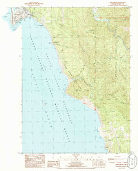
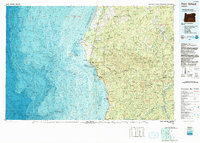
7 maps found