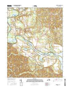
2016 Map of Port Royal
USGS Topo · Published 2016About this map
The Rappahannock River defines the border between King George and Caroline counties, its meandering path marked by historic navigational points like Popcastle Turn, Slipe Reach, and Skinkers Neck. This 2016 survey illustrates the river’s continued significance to the region, connecting the colonial-era settlements of Port Royal and Port Conway via the James Madison Memorial Bridge. The landscape away from the water is a network of small communities and rural family-named landmarks, such as Dogue, Gera, and Office Hall.
Find a feature on this map
108 named features on this map. Tap any name to fly to it.
Don’t see what you’re looking for? This feature index may not catch every label — zoom into the map to look around manually.
Map Details
Editions of this 2016 Port Royal Map
This is the sole edition of this map. No revisions or reprints were ever made.
Other maps of this area

1889 · Fredericksburg
USGS Topo · 1:125,000

1892 · Fredericksburg
USGS Topo · 1:125,000

1894 · Fredericksburg
USGS Topo · 1:125,000

1926 · Stafford
USGS Topo · 1:62,500

1931 · Stafford
USGS Topo · 1:62,500

1942 · Bowling Green
USGS Topo · 1:31,680

1942 · Upper Zion
USGS Topo · 1:31,680

1942 · Occupacia
USGS Topo · 1:31,680

1942 · Rollins Fork
USGS Topo · 1:31,680

1942 · Port Royal
USGS Topo · 1:31,680