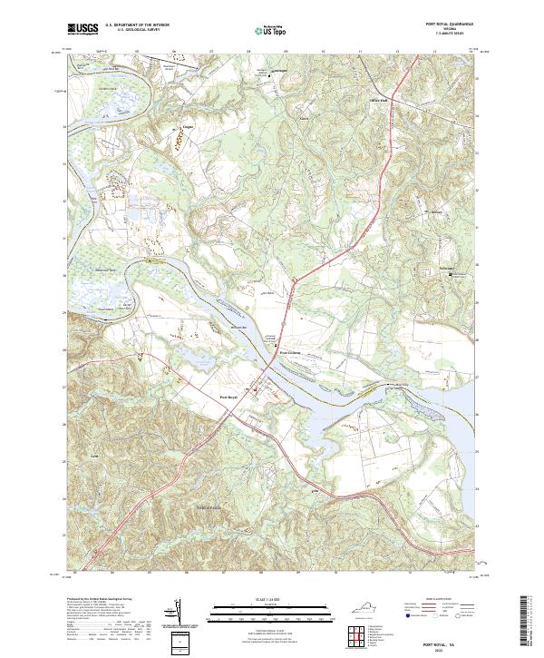
2022 Map of Port Royal
USGS Topo · Published 2022About this map
Port Royal and Port Conway face one another across the Rappahannock River at a historic crossing point defined by the deep bends of the waterway. The river's character is mapped through its numerous reaches and bars, including Buckners Reach and Millbank Bar, reflecting a landscape deeply tied to navigation and local topography. On the north bank in King George County, the community of Dogue sits near the Powhatan Airport, while the south bank in Caroline County is punctuated by rural settlements like Lent and Etta. The map serves as a vital record for genealogists, as it identifies several local landmarks including Emmanuel Episcopal Church Cem and Salem Baptist Church Cem. The terrain is marked by distinctive points and necks, such as Nanzemun Neck and Skinkers Neck, showing how the winding river has shaped the development of these Tidewater communities.
Find a feature on this map
116 named features on this map. Tap any name to fly to it.
Don’t see what you’re looking for? This feature index may not catch every label — zoom into the map to look around manually.
Map Details
Editions of this 2022 Port Royal Map
This is the sole edition of this map. No revisions or reprints were ever made.
Other maps of this area

1889 · Fredericksburg
USGS Topo · 1:125,000

1892 · Fredericksburg
USGS Topo · 1:125,000

1894 · Fredericksburg
USGS Topo · 1:125,000

1926 · Stafford
USGS Topo · 1:62,500

1931 · Stafford
USGS Topo · 1:62,500

1942 · Bowling Green
USGS Topo · 1:31,680

1942 · Upper Zion
USGS Topo · 1:31,680

1942 · Occupacia
USGS Topo · 1:31,680

1942 · Rollins Fork
USGS Topo · 1:31,680

1942 · Port Royal
USGS Topo · 1:31,680